Sept. 28, 2017 — Photos: Must-see photos of Irma damage in Jacksonville area .... hurricane Irma recap
Eye on possible tropical development near Florida this weekend!.... Maria weakening... Lee over Central Atlantic....
The "Buresh Bottom Line": Always be prepared!..... City of Jacksonville Preparedness Guide... Georgia Hurricane Guide.
HEADS UP!: We have an area to watch for the development of low pressure near Florida through the weekend. It would appear the low will be weak, but it will likely be tropical in nature. Due to proximity to land & the short duration in which to develop, the low should not have time to become intense but at least a tropical depression will be possible.... & maybe even a low end tropical storm ("Nate" next on the list of names). With or without the low, strong onshore (out of the east) winds will quickly develop over the weekend with a very high rip current risk along with bands of heavy rain. The strong east winds will translate into the potential for more river & tributary flooding inland as well, especially at times of high tide. Any development of low pressure should then slowly move westward across Florida through Monday.
SAT. THROUGH MON. FOR NE FL./SE GA:
-- increasing winds off the Atlantic - averaging 20-30 mph sustained but gusts 40+ mph
-- rough seas & surf as surf builds to 8+ feet with breakers at the beaches of at least 6 feet but likely 8+ feet Sunday-Monday
-- beach erosion
-- flooding - especially during any prolonged heavy rain bands.... at times of high tide which will be given an extra astronomical boost by the approaching full moon (Thu.,Oct. 5)
-- potential for heavy rain: 1-3", locally more - especially from near I-95 to the beaches
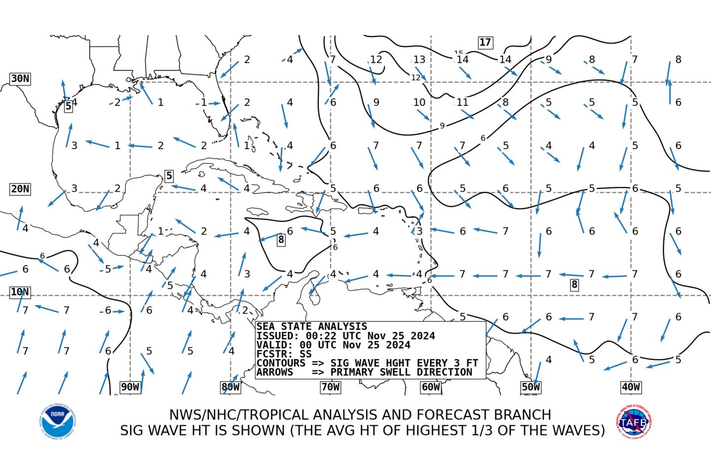
48 hour wave & wind direction forecast:
Maria:
Maria went Cat. 5 & then some with a minimum pressure of at least 909 mb Tue. evening making the hurricane among the top 10 most intense on record for any part of the Atlantic Basin. Maria was the 2nd Cat. 5 of the season over the Atlantic - the first time that's happened since 2007 (Dean & Felix). The catastrophic move over Puerto Rico caused some weakening before more intensification once over the warm water of the Southwest Atlantic. A gradual weakening since late last week will continue now as shear increases out of the west & southwest & the eye moves over cooler water.
An approaching upper level trough is picking up Maria causing a sharp right hand (east/northeast) turn through the weekend with an acceleration over open water where the storm will gradually become part of a large ocean storm over the N. Atlantic.
Spaghetti model plot for Maria:
Average wave heights:
Lee:
"Lee" went through a rapid intensification cycle over the weekend becoming a hurricane over the Central Atlantic. The small but rather powerful tropical cyclone is about to follow the same fate as Maria feeling the effects of an approaching upper level trough which will cause an acceleration to the northeast over the N. Atlantic. No land areas will be threatened by Lee.
0
1
Band of clouds stretching from Canada to the Southern Plains is the approaching surface cold front & upper level trough that will guide Maria & Lee well out to sea.
The Gulf remains mostly quiet while the Caribbean is becoming more unsettled. There are indications of a general lowering of surface pressures across this area over the next 1 - 2 weeks which might be a hint pointing to tropical "mischief" the first week or so of Oct.
It looks like general & broad low pressure will evolve over parts of the Caribbean/Central America & Gulf of Mexico next week & beyond. Depending on any land interaction, this could eventually evolve into a tropical cyclone & will need to be watched closely as this is the time of year for slow but sometimes strong tropical development over the still very warm water of the Southern Gulf &/or Caribbean.
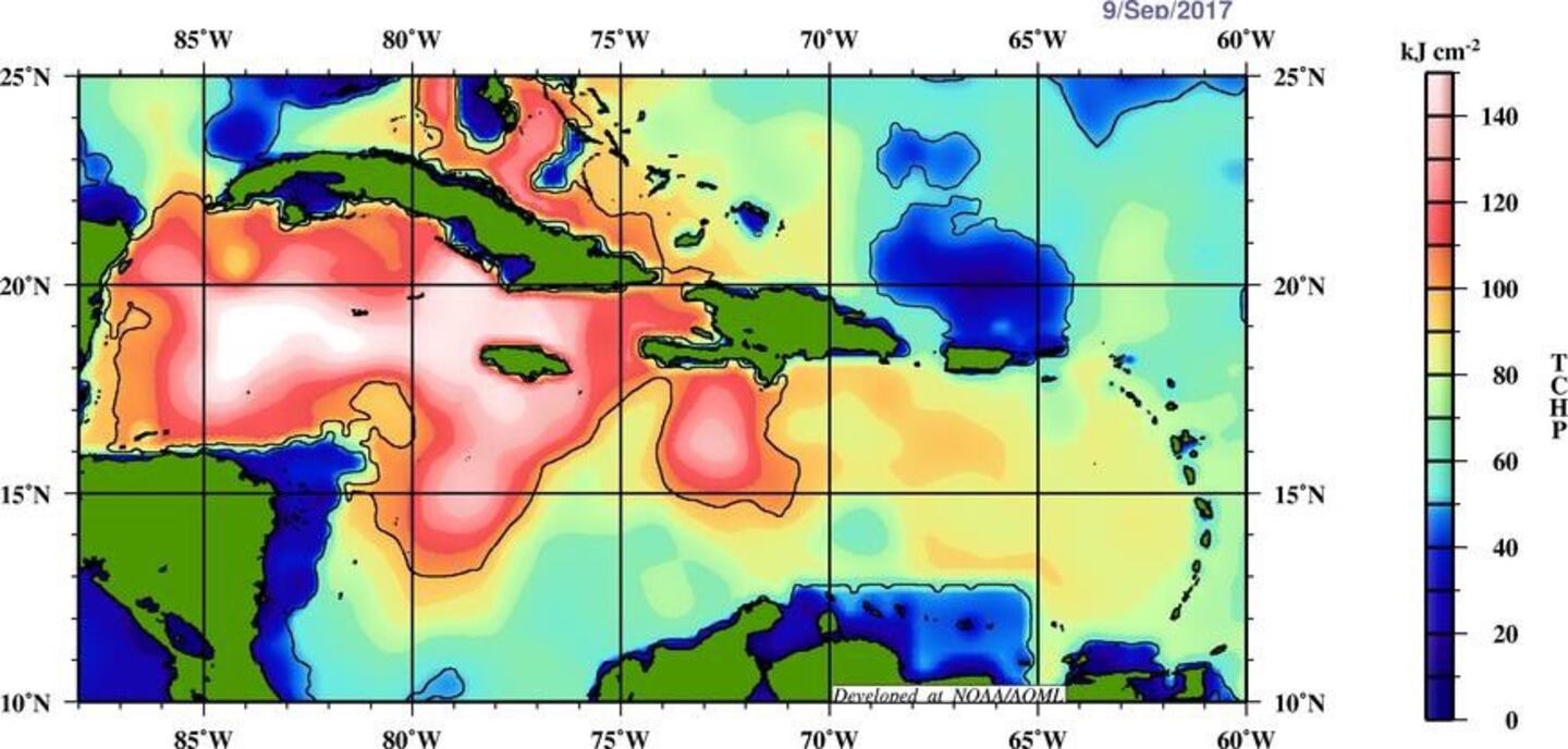
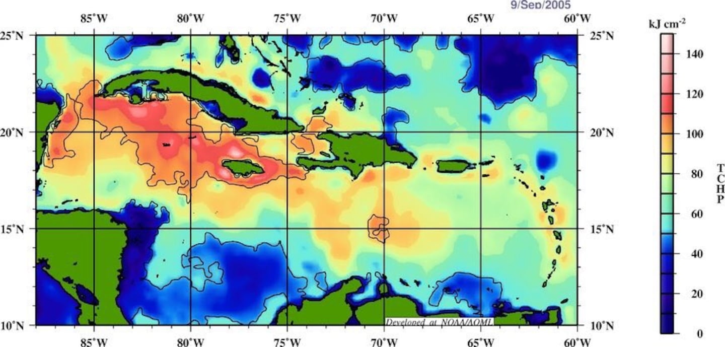
Eric Blake, NHC tweeted this interesting & concerning snapshot of the Gulf & Caribbean now vs. 2005 which produced record setting hurricane Wilma in Oct., 2005. The upshot: the Caribbean is "boiling"...
2005:
Forecast GFS surface map for early Sunday shows low pressure near Florida. Strong high pressure will be a mainstay through next week over or near the Eastern/Northeast U.S. - with low pressure across southern latitudes - keeping strong onshore flow over Florida for many days in a row.
Deep oceanic heat content is still very evident - especially over the Caribbean & Gulf. We will have more tropical troubles before the season is over.
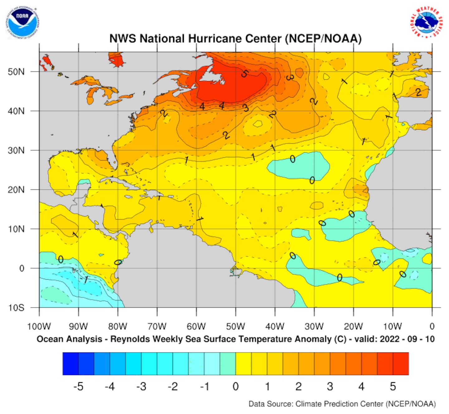
Sea surface temp. anomalies are slowly recovering over/near the Gulf / Fl./ SW Atlantic since the passing of multiple hurricanes (Harvey, Irma, Jose, Maria)....
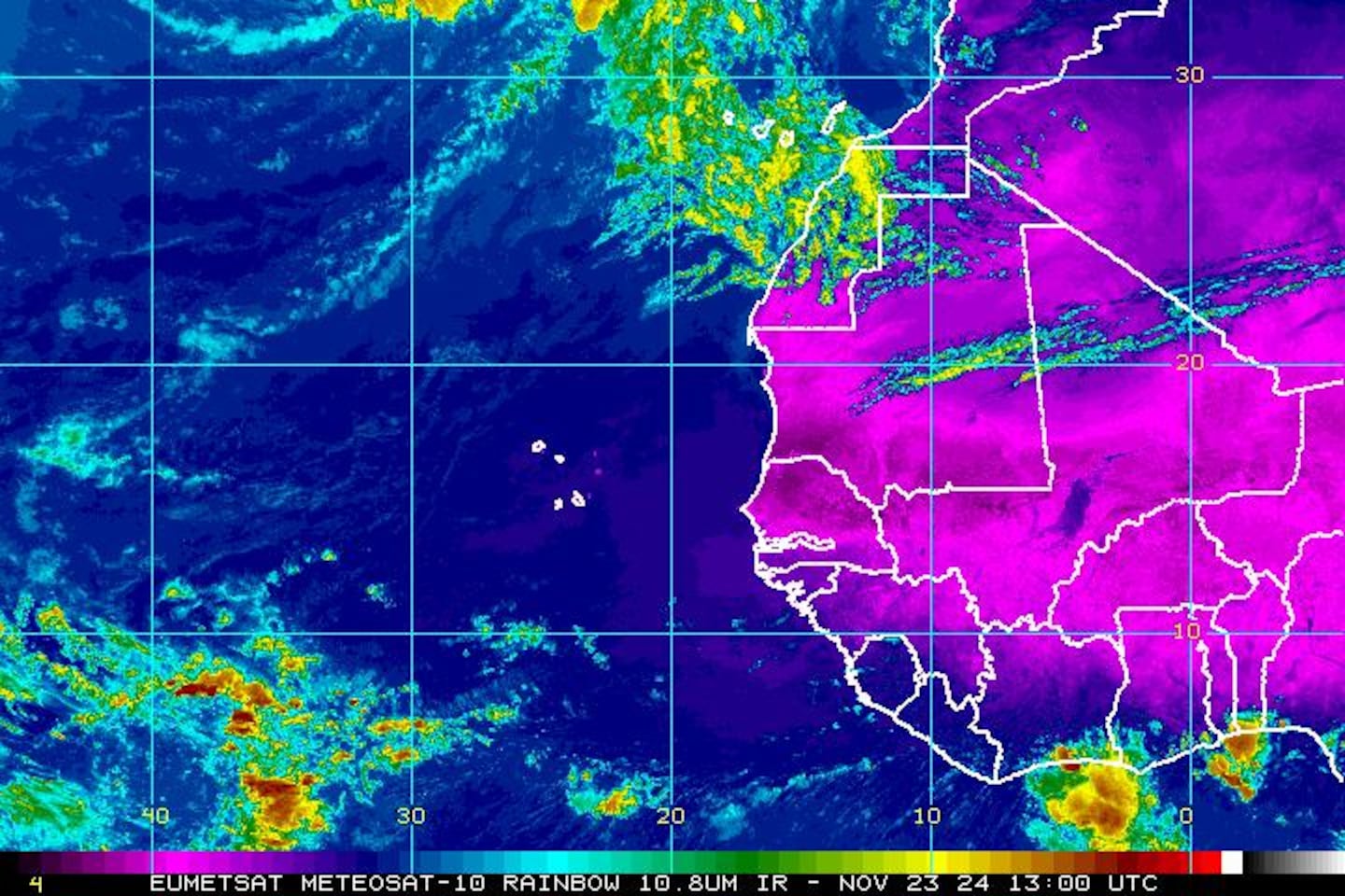
East Atlantic IR satellite (Cape Verde season dwindling):
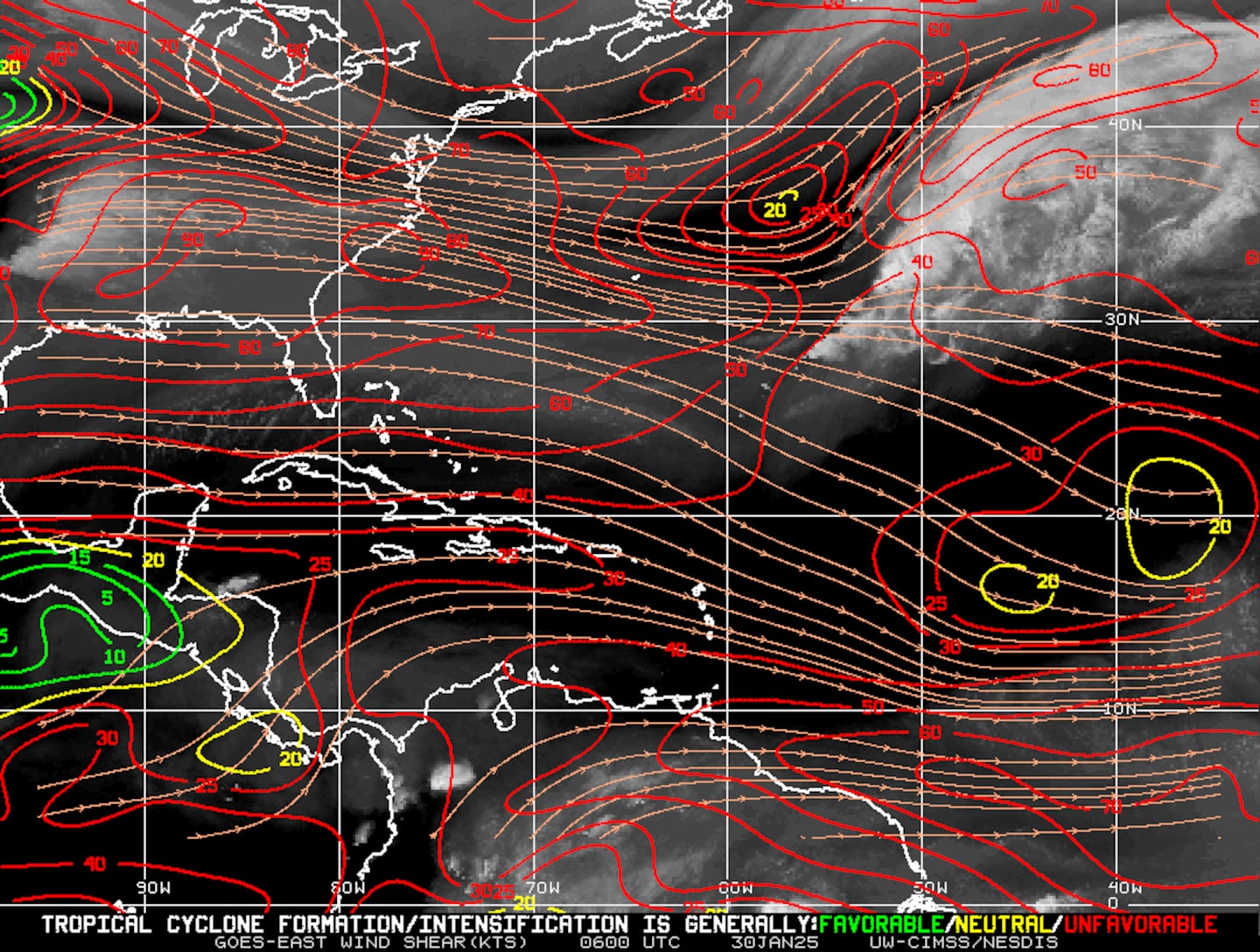
Mid & upper level wind shear (enemy of tropical cyclones) analysis (CIMMS):
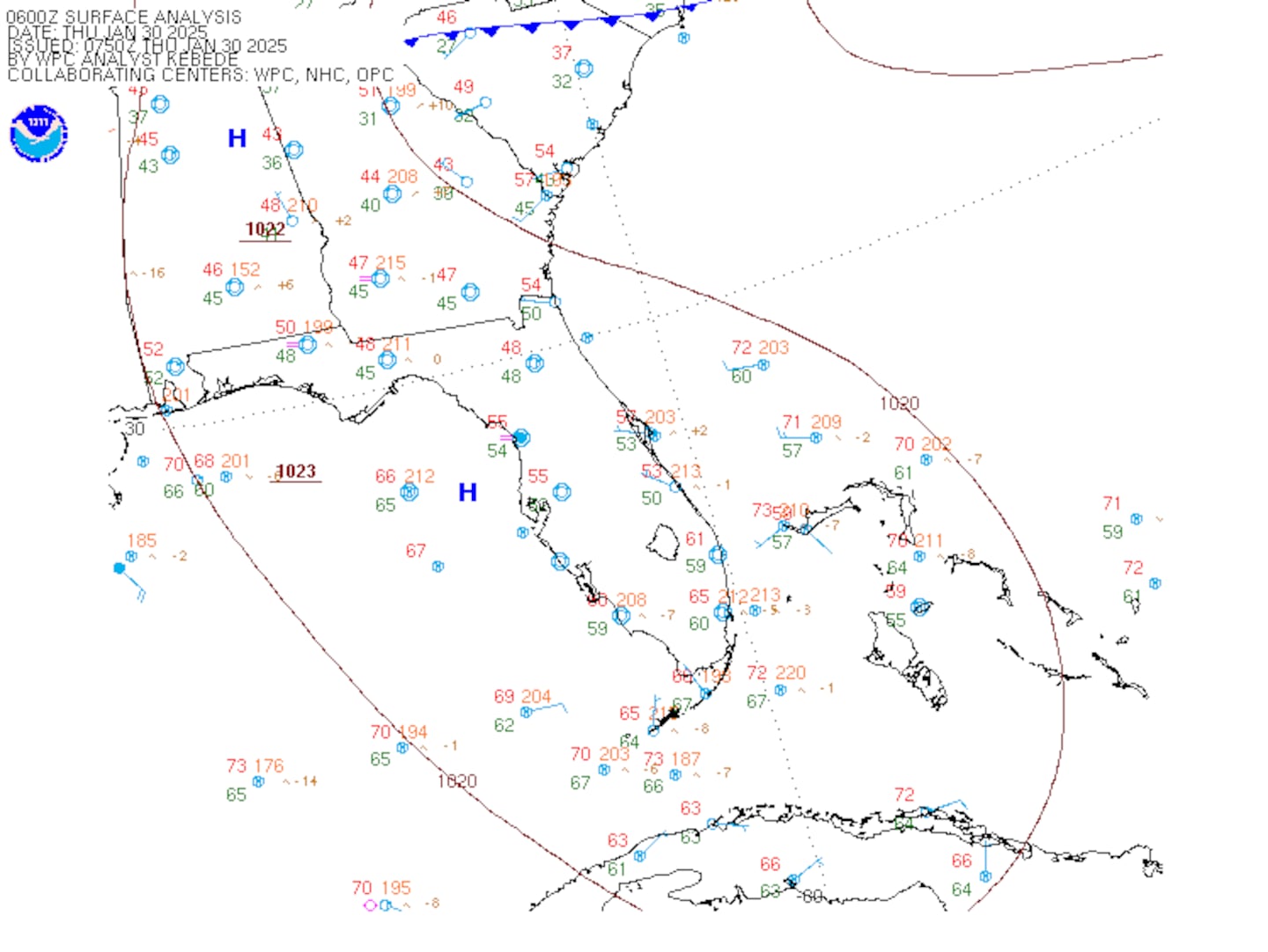
SE U.S. surface map:
Surface analysis centered on the tropical Atlantic:
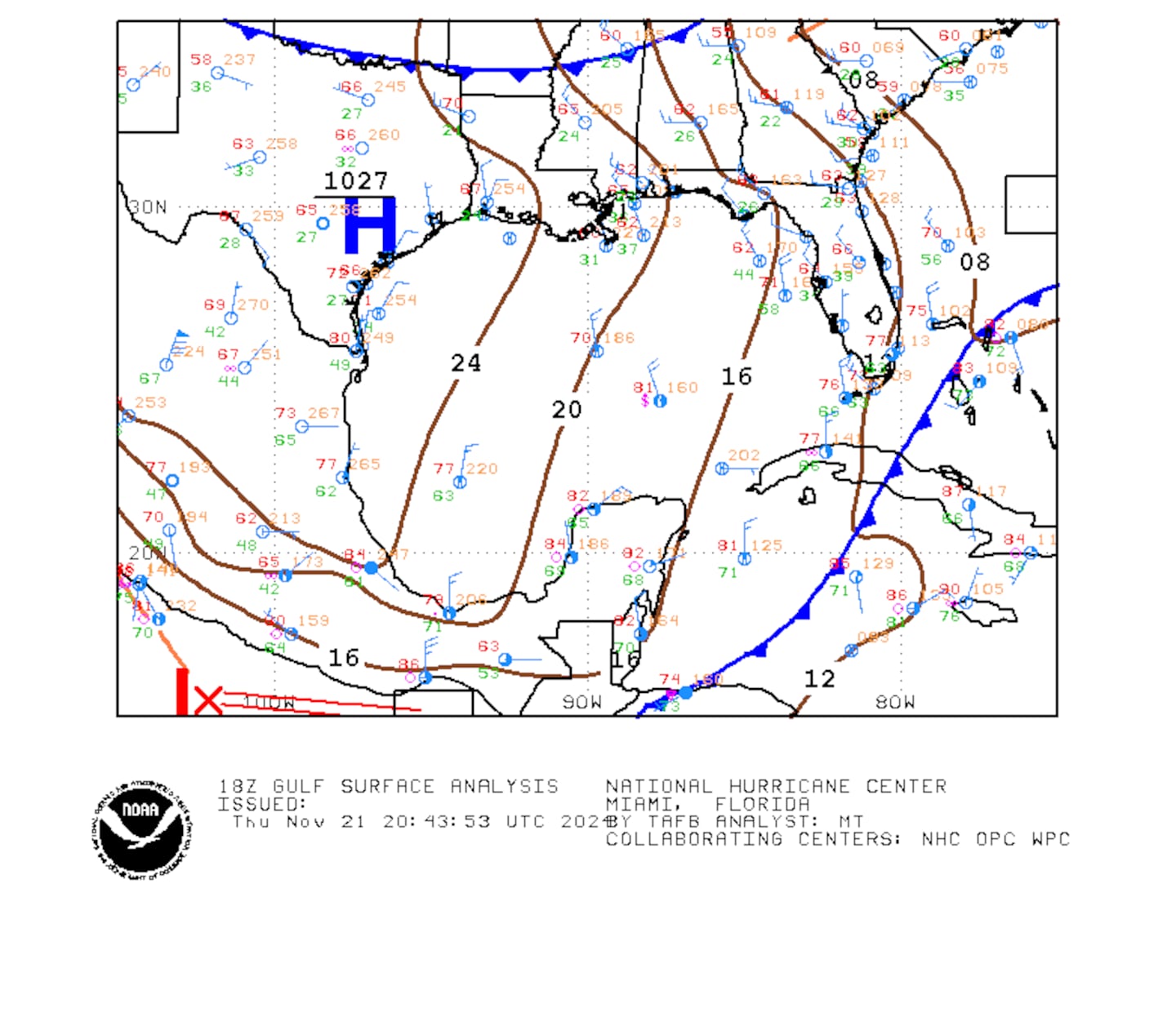
Surface analysis of the Gulf:
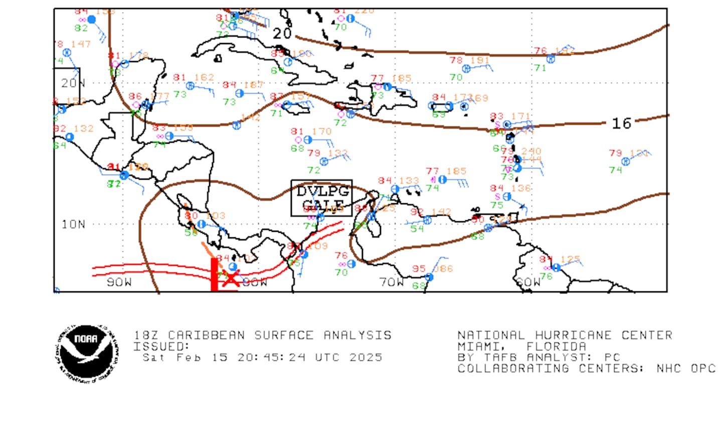
Caribbean:
Extensive hurricane Irma recap - click here.
Cox Media Group


