JACKSONVILLE, Fla. — Here’s what the First Alert Weather Team said you can expect for the First Alert Weather forecast:
- It’s been a stormy afternoon in NE Florida
- Some neighborhoods in Duval/St. Johns have gotten 1-2″ of rain
- As of this 4:30 PM writing, storms focus from Valdosta to Waycross in SE GA
- While in NE FL, most of the rain is confined to Putnam County
- Spots south & west of Jax will be the areas to watch for additional storm development the next few hours
- I anticipate the rain clears a little after sunset, if not before
- Monday brings more storms but the coverage will be less than today
- Then the pattern gets a lot drier with just isolated storms the forecast each day through next weekend
- Temps climb a bit with less rain, so it stays plenty hot & humid
WATCH THE FORECAST | DOWNLOAD THE APPS
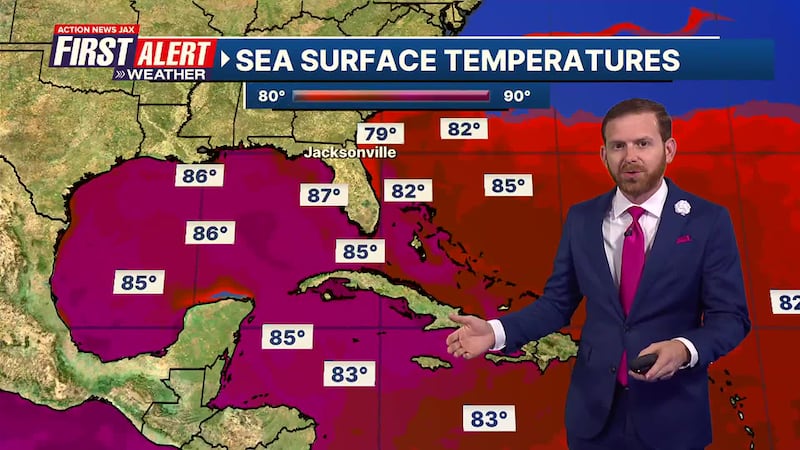
TROPICS:
- No areas of concern
Follow Action News Jax Meteorologists on Twitter for updates:
Mike Buresh | Garrett Bedenbaugh | Corey Simma | Trevor Gibbs
First Alert 7-Day Forecast:
- TONIGHT: Showers Early, Partly Cloudy. Low: 74
- TOMORROW: Partly Sunny, A Few PM Storms. High: 93
- TUE: Partly Sunny, Isolated Storm. 74/93
- WED: Partly Cloudy, Isolated Storm. 74/94
- THU: Partly Sunny, Isolated Storm. 75/95
- FRI: Partly Cloudy, Isolated Storm. 75/95
- SAT: Partly Sunny, Isolated Storm. 74/93
- SUN: Partly Cloudy, Isolated Storm. 73/93

INTERACTIVE RADAR: Keep track of the rain as it moves through your neighborhood
SHARE WITH US: Send us photos of the weather you’re seeing in your area ⬇️