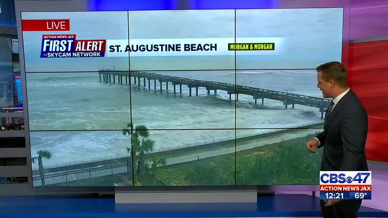
JACKSONVILLE, Fla. — The Action News Jax First Alert Weather Team is continuing to track Ian.
Ian made landfall Wednesday afternoon in Caya Costa, just north of Sanibel and Captiva islands, as a Category 4, with winds nearing Category 5 strength. After making landfall for a second time on mainland Florida in Charlotte County on Wednesday afternoon, the storm rapidly weakened to a tropical storm moving northeastward and became a hurricane again off the northeast Florida coast.
Ian made landfall for the third time in the U.S. in Georgetown, South Carolina, on Friday afternoon as a Category 1. It became post-tropical early Friday evening.
WATCH THE FORECAST | DOWNLOAD THE APPS
In northeast Florida and southeast Georgia, another round of moderate to major flooding will accompany the midnight high tide cycle up and down the coast with some minor nuanced flooding along the St. Johns River and its tributaries. Flooding will continue along the St. Johns River through the weekend, especially at times of high tide.

LISTEN: Mike Buresh ‘All the Weather, All the Time’ Podcast
Get the full breakdown by reading the latest entry of Talking the Tropics with Mike
INTERACTIVE RADAR: Keep track of the rain as it moves through your neighborhood
Follow Action News Jax Meteorologists on Twitter for updates:
Mike Buresh | Garrett Bedenbaugh | Corey Simma
SHARE WITH US: Send us photos of the weather you’re seeing in your area ⬇️


