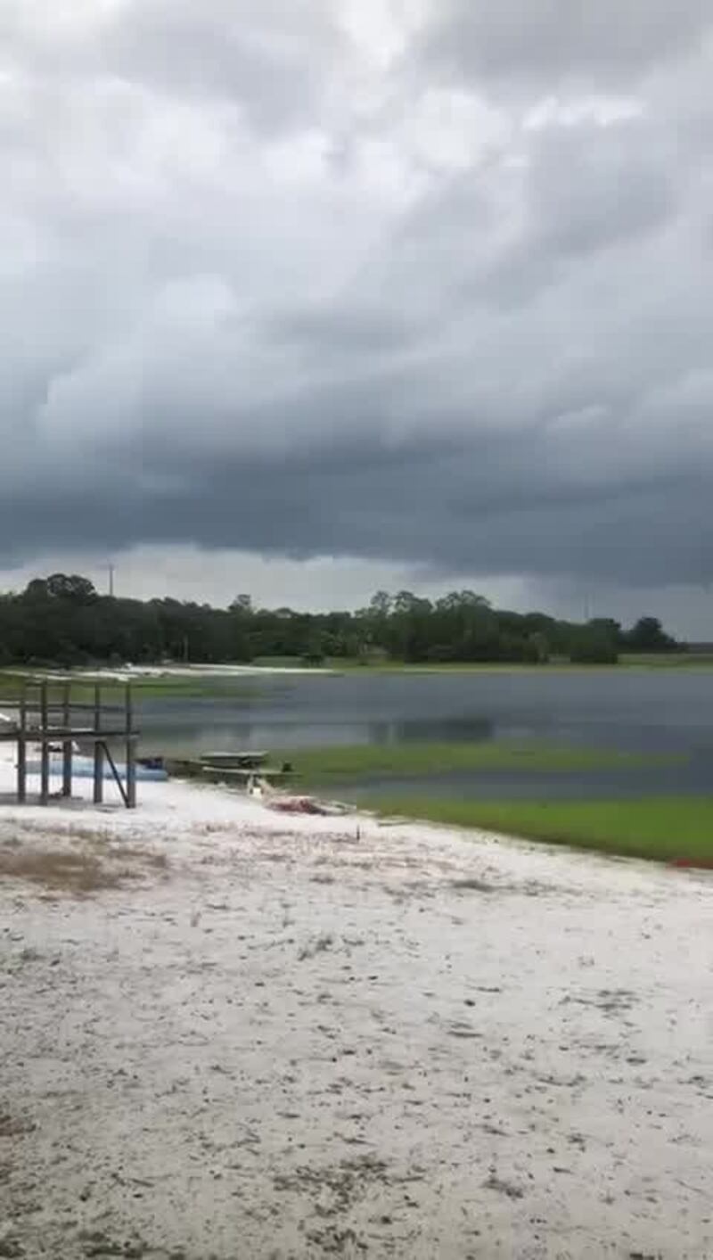
Tornado warnings were effect Wednesday for the Jacksonville area region on Wednesday, and iyt is now confirmed that an EF-0 tornado was confirmed in Lake Geneva moving from Clay into Bradford County.
.@nwxjax has confirmed an EF-0 tornado touched down in Lake Geneva moving from Clay into Bradford county yesterday afternoon. This is video from that area Wednesday. #FirstAlertWX pic.twitter.com/A987jVp6RD
— Arielle Nixon (@NixonFirstAlert) October 11, 2018
MUST-SEE: Hurricane Michael live updates, photos as it nears landfall
The tornado was confirmed on the ground by a Jacksonville National Weather Center employee in Lake Brooklyn.
Confirmed: Tornado near Camp Blanding, NE of Starke. pic.twitter.com/hxthfdQM8c
— Garrett Bedenbaugh (@wxgarrett) October 10, 2018
First Alert: Tornado Warning for Bradford, Clay, Duval and Nassau County in FL until 4:00pm EDT. https://t.co/YbGyB0j5Xd #flwx
— Garrett Bedenbaugh (@wxgarrett) October 10, 2018
Mayor Lenny Curry tweeted that individuals in Jacksonville with any non-emergency storm issues should call 904-630-city.
John Ward from Clay County Emergency Management said there is no reported damage yet from Clay County from the confirmed tornado.
UPDATES: Hurricane Michael makes landfall, tornado watch issued for Jacksonville
STORY: Here is a list of Florida, Georgia school closures due to Hurricane Michael
John Ward from Clay county emergency management tells me there is no reported damage yet from Clay county from the confirmed tornado. @ActionNewsJax
— Garrett Bedenbaugh (@wxgarrett) October 10, 2018
A viewer sent us this video from Keystone Heights looking toward Bradford County. Clay and Bradford are under a tornado warning #Firstalertwx @MikeFirstAlert @wxgarrett pic.twitter.com/7eYPSvfH5W
— ActionNewsJax (@ActionNewsJax) October 10, 2018
STAY UPDATED | Download our apps: The Action News Jax First Alert weather app,
Action News Jax news app for Apple, Action News Jax news app for Android
Tornado warning issued for NW Nassau, west central Camden, and ne Charlton. This storm is by Hilliard near U.S. 1 and country road 108. This storm will move parallel to U.S. 1 or on top of it moving northward at 30 mph. #jaxwx #flwx
— NWS Jacksonville (@NWSJacksonville) October 10, 2018
Cox Media Group


