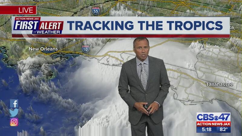
11 P.M. TUESDAY UPDATE: Tropical Storm Gordon is making landfall just west of the Alabama and Mississippi border. Maximum sustained winds are still at 70 mph.
Gordon has already claimed one life, due to a tree falling onto a trailer home, officials say.
STORY: Tropical Storm Gordon claims one life
Tropical Storm #Gordon 11 pm advisory is in. Gordon is making landfall just west of the AL / MS border. #FirstAlertWX pic.twitter.com/zW1duIGNhn
— Garrett Bedenbaugh (@wxgarrett) September 5, 2018
5 P.M. TUESDAY UPDATE: Tropical Storm Gordon now has winds up to 70 mph. Gordon could still become a hurricane before landfall later tonight.
TWITTER: Follow Action News Jax reporter Christy Turner in Pascagoula, Miss.
5 pm advisory is in for Tropical Storm #Gordon. Winds up to 70 mph. Could still become a hurricane before landfall later tonight. We are tracking live at 5 pm on CBS47 @actionnewsjax. #FirstAlertWX pic.twitter.com/op8NBjXqou
— Mike Buresh (@MikeFirstAlert) September 4, 2018
2 P.M. TUESDAY UPDATE: Tropical Storm Gordon is still a tropical storm as it approaches the central Gulf Coast. Outer rain bands are already impacting the western Florida Panhandle.
2 pm advisory for Tropical Storm #Gordon. Still a tropical storm as it approaches the central Gulf coast. Outer rain bands already impacting the western Florida Panhandle. #FirstAlertWX pic.twitter.com/Gy5hcL9il9
— Garrett Bedenbaugh (@wxgarrett) September 4, 2018
11 P.M. MONDAY UPDATE: No significant changes with the 11 p.m. advisory for Tropical Storm Gordon. Maximum sustained winds remain at 60 mph. The center of Gordon is forecast to make landfall along the Mississippi/Louisiana Gulf coast Tuesday evening as a hurricane. There will be no direct local impacts from Gordon for northeast Florida and southeast Georgia.
Here is the 11 pm advisory for Tropical Storm #Gordon. No major changes. #FirstAlertWX pic.twitter.com/3gGHUtnX89
— Garrett Bedenbaugh (@wxgarrett) September 4, 2018
STAY INFORMED: Get the free First Alert Weather app
11 A.M. MONDAY UPDATE: Tropical Storm Gordon is forecasted to strengthen in the Gulf of Mexico. The First Alert weather team believes the storm could be near hurricane strength as it approaches the central Gulf coast. There are no direct local impacts for Jacksonville.
11 am advisory is in for Tropical Storm #Gordon. Here is the latest forecast track. Forecast to strengthen in the Gulf of Mexico. Could be near hurricane strength as it approaches the central Gulf coast. No direct local impacts for JAX. #FirstAlertWX pic.twitter.com/Lb8eZRVKjH
— Garrett Bedenbaugh (@wxgarrett) September 3, 2018
8:05 A.M. MONDAY UPDATE: The First Alert Weather team is tracking Tropical Storm Gordon.
The storm formed Monday morning around 8:05 a.m. near the Florida Keys. It is expected to make landfall overnight Tuesday into early Wednesday along the Gulf Coast, Meteorologist Arielle Nixon said.
A tropical storm warning has been issued for portions of south Florida and the Keys.
A Tropical Storm Warning has been issued for portions of South
— Garrett Bedenbaugh (@wxgarrett) September 3, 2018
Florida from Golden Beach to Bonita Beach, and for the Florida
Keys from Craig Key to Ocean Reef, including Florida Bay. #Gordon
It has a maximum sustained winds of around 45 miles per hour.
In our local area, we will have indirect impacts with increased onshore wind, showers and risk of rip currents.
BREAKING: Tropical Storm Gordon forms near the upper Florida Keys. Gordon is set to make landfall overnight Tuesday into early Wednesday along the Gulf Coast. Local impact is indirect with increased onshore wind, showers and risk of rip currents pic.twitter.com/tWG20px801
— Arielle Nixon (@NixonFirstAlert) September 3, 2018
Cox Media Group


