
JACKSONVILLE, Fla. — Update 1:48 p.m.: Milton has strengthened into a hurricane and is now classified as a category 1 storm.
Hurricane #Milton Advisory 5A: https://t.co/tW4KeGe9uJ
— National Hurricane Center (@NHC_Atlantic) October 6, 2024
Original: Residents of Jacksonville, Northeast Florida, and Southeast Georgia should prepare for significant impacts from Tropical Storm Milton as it approaches late Tuesday into Thursday morning.
Though the storm’s exact track remains uncertain, Milton is expected to bring heavy rain, strong winds, coastal flooding, and beach erosion. Preparations should be completed by Monday or early Tuesday, and residents in evacuation zones are urged to follow any official orders promptly.
Follow Action News Jax Meteorologists on Twitter for updates:
Mike Buresh | Garrett Bedenbaugh | Corey Simma | Trevor Gibbs
Local Impacts from Milton for Jacksonville/Northeast Florida & Southeast Georgia:
- Rainfall: Heavy rainfall unrelated to Milton will affect the region through Sunday, with amounts of 1-2 inches, especially along the Highway 301 corridor and the coast. As Milton arrives, additional rainfall of 5+ inches is expected, leading to a high risk of flooding, particularly in Northeast Florida and far Southeast Georgia. The exact amounts will depend on Milton’s track, which remains uncertain.
- Winds: Winds will increase starting Monday, with strong onshore gusts. By Tuesday night into Wednesday, tropical-storm-force winds of 40+ mph are likely across the area, with hurricane-force gusts (75+ mph) possible from I-95 to the beaches. The saturated ground will make trees more prone to uprooting, especially in areas already affected by previous storms like Helene.
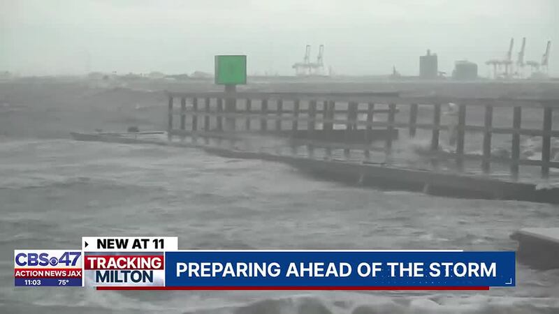
- Beach & Coastal Impacts: Beaches will experience severe erosion and coastal flooding due to prolonged onshore winds, with waves potentially reaching 10-15 feet. Mariners should secure their vessels by Wednesday morning. The hardest-hit areas are expected to be in St. Johns County and points south, though impacts could extend north into Duval County.
- Storm Surge: Depending on Milton’s exact path, storm surge flooding of several feet is possible, especially in coastal St. Johns County and along the St. Johns River. Surge risks extend as far north as Duval County and will be influenced by the storm’s intensity and proximity to the coast.
- Flooding: Minor flooding along the St. Johns River is expected through Monday, with more significant flooding possible Tuesday into Wednesday as heavy rain and storm surge combine. The region is at high risk for flash flooding due to already saturated ground.
- Tornado Risk: There is a low risk of isolated waterspouts and tornadoes, particularly within Milton’s rainbands. The highest risk will be in Central and South Florida, but Northeast Florida and Southeast Georgia should remain vigilant as tornadoes can form quickly with little warning.
READ: After the deluge, the lies: Misinformation and hoaxes about Helene cloud the recovery
Preparation & Evacuation:
Residents are urged to complete preparations by Monday or early Tuesday. Evacuation orders, if issued, should be followed immediately. Secure outdoor objects and review hurricane preparedness kits. The window for preparations will close quickly as weather conditions deteriorate late Tuesday into Wednesday.
For coastal communities, significant impacts are expected from midweek, with the hardest-hit areas likely south of I-10, including south Duval, Clay, St. Johns, and Putnam counties, as well as coastal Nassau County in Florida and coastal Camden and Glynn counties in Georgia. While areas like Lake City and Waycross may see less severe impacts, the storm’s rain and wind will complicate recovery efforts from Helene.
Stay tuned to official updates, and for more detailed analysis, follow “Talking the Tropics with Mike.”
[SIGN UP: Action News Jax Daily Headlines Newsletter]
Click here to download the free Action News Jax news and weather apps, click here to download the Action News Jax Now app for your smart TV and click here to stream Action News Jax live.


