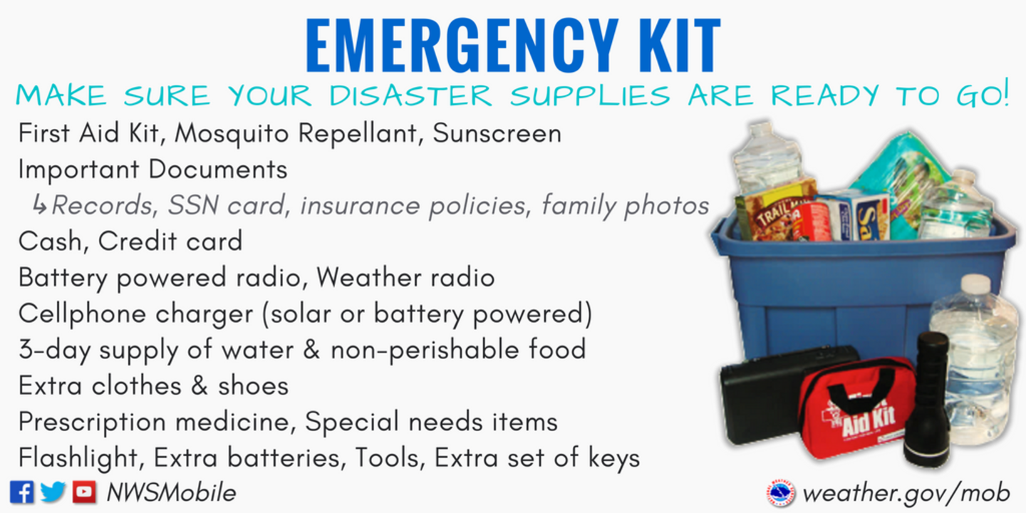
Oct. 6, 2018 — The "Buresh Bottom Line": Always be prepared!.....First Alert Hurricane Survival Guide... City of Jacksonville Preparedness Guide... Georgia Hurricane Guide.
STAY INFORMED: Get the (free) First Alert Weather app
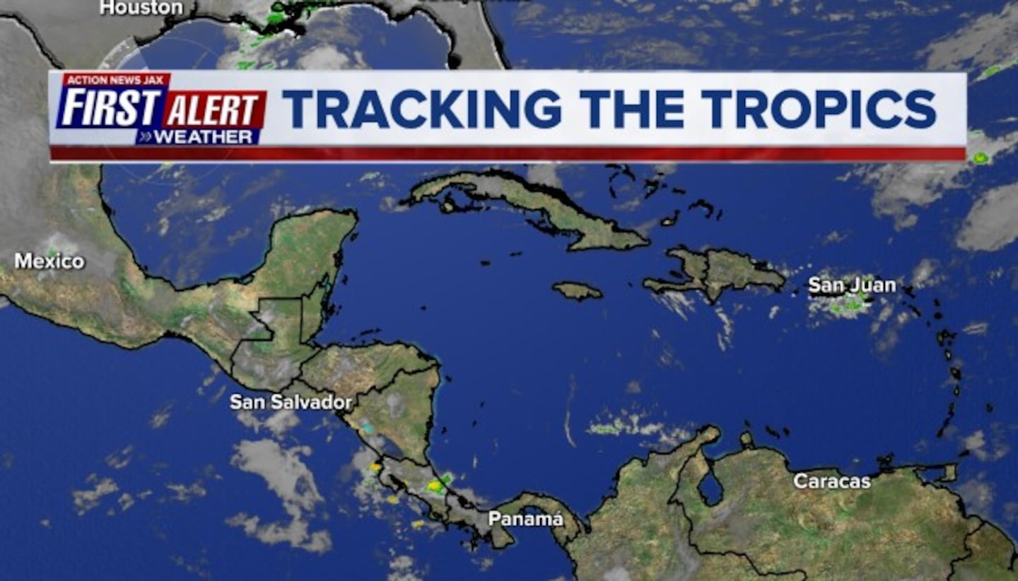
Eye on the Caribbean & Gulf of Mexico - potential development of tropical cyclone "Michael" (not Buresh!)..........
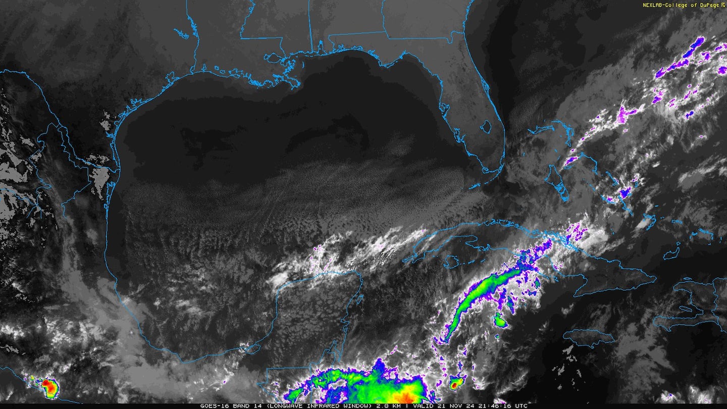
Clusters & bands of strong convection persist over the Caribbean. Broad low pressure has developed, but the t'storms lack organization & there is a good deal of mid & upper level shear at the moment. Tropical development over/near the Gulf &/or Caribbean appears probable next week but the end result is still - as one would expect at this early juncture - far from certain. Long range global forecast models have at times "lost" this system. I would expect models to become more consistent in developing this potential tropical cyclone in the coming days. There is a lot of low pressure over a wide area from the Caribbean through the Gulf which may cause a delay in the "bundling" - or organization - of a single area of low pressure. In any case.... tropical moisture will begin to surge northward next week & will likely result in an increase in rainfall for Jacksonville/NE Fl./SE Ga.
Spaghetti plots for the potential disturbance below (not a lot of tracks because not all forecast models are onboard for development):
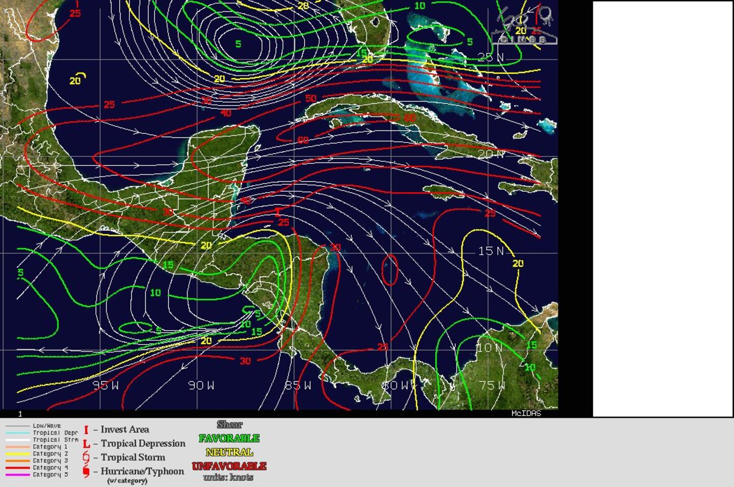
Tropical wave/disturbance '91L' will be battling a good deal of shear in the coming days. Westerly shear of 50+ mph(!) should insure slow organization + a system heavily weighted (heaviest rain, strongest winds) on its eastern side. Shear relaxes for a time over the Gulf - & when combined with better upper level ventilation - there is concern for fairly rapid strengthening once at a more northern latitude over the Gulf.
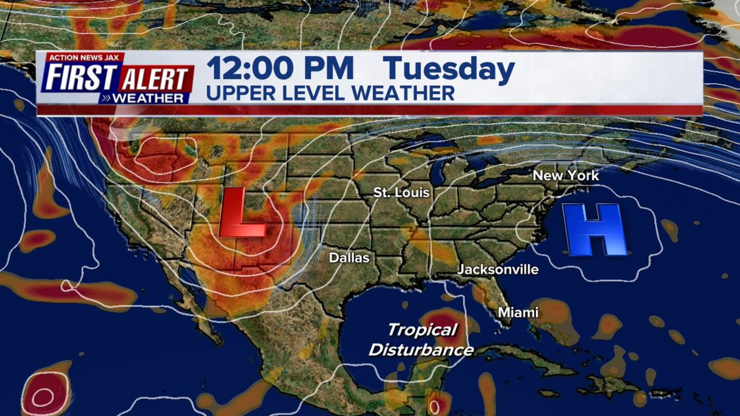
As for movement..... the long lasting Bermuda high-style system over or near the Southeast U.S. will be a major player regarding the ultimate track of what could become Michael. At the same time, a deep upper level trough will dig into the Western U.S. Given additional "energy" that has yet to become a part of this trough + the stubbornness of the eastern ridge the last 6-7 weeks, I have a tendency to favor a more western track - possibly as far west as New Orleans. Forecast models, however, say differently bringing the system ashore near Mobile &/or the Fl. Panhandle. The UKMET model is even farther east. As for timing... Wed./Thu. is when the disturbance should make landfall. From there, models are at odds as to whether or not the base of the western trough will extend far enough south to fully pick up the system.
So lots of question marks as one would expect at this early juncture but everyone from Florida to Louisiana should stay up to date on the latest forecasts.
Map below is upper levels (500mb) - European model - noon Tue.:
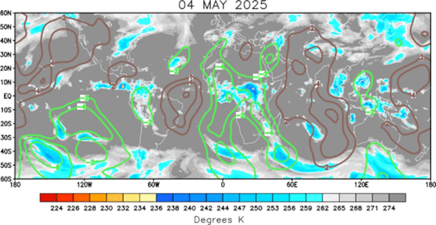
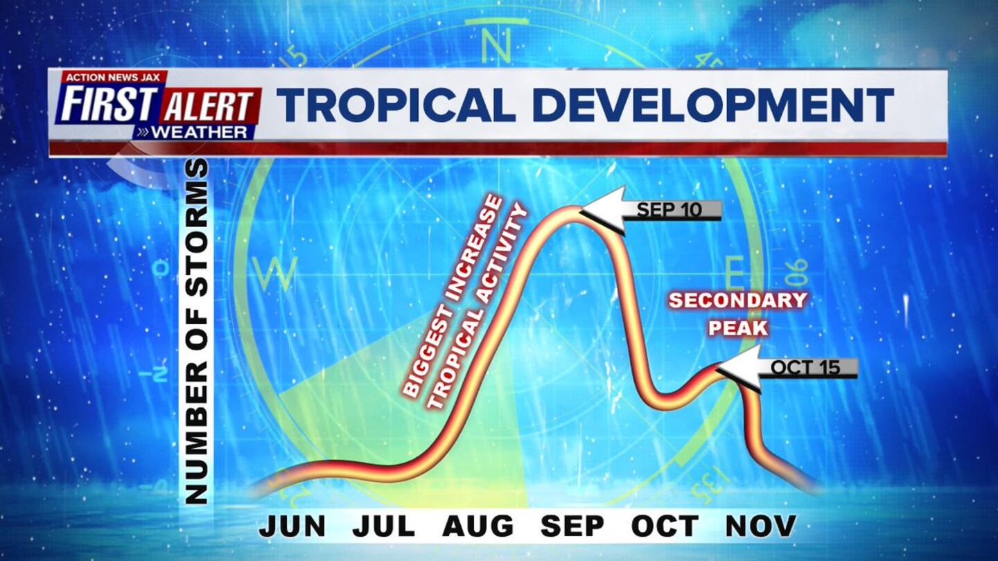
The overall pattern through the first 2+ weeks of Oct. will favor tropical development over the Atlantic Basin. The velocity potential anomaly map below indicates expansive green lines - upward motion - spreading from the E. Pacific into the Atlantic Basin, part of a MJO (Madden-Julian Oscillation) pulse. While tropical development could occur just about anywhere, it would appear we especially need to be vigilant of the Caribbean &/or Southwest Atlantic from approximately Oct. 8 through the 16th.
Note the secondary peak of the hurricane season in mid Oct.:
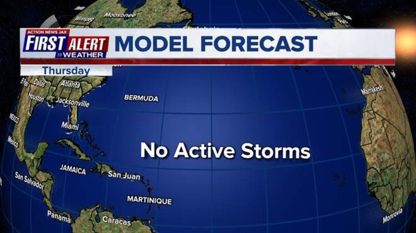
Meanwhile... Leslie continues to crawl over the Central Atlantic. The storm's swell will affect the Florida coastline & much of the U.S. east coast through the weekend & - when combined with onshore flow - result in a high rip current risk at area beaches. Otherwise Leslie will stay far away from any land areas as the tropical cyclone turns sharply eastward.
Atlantic Basin:
0
1
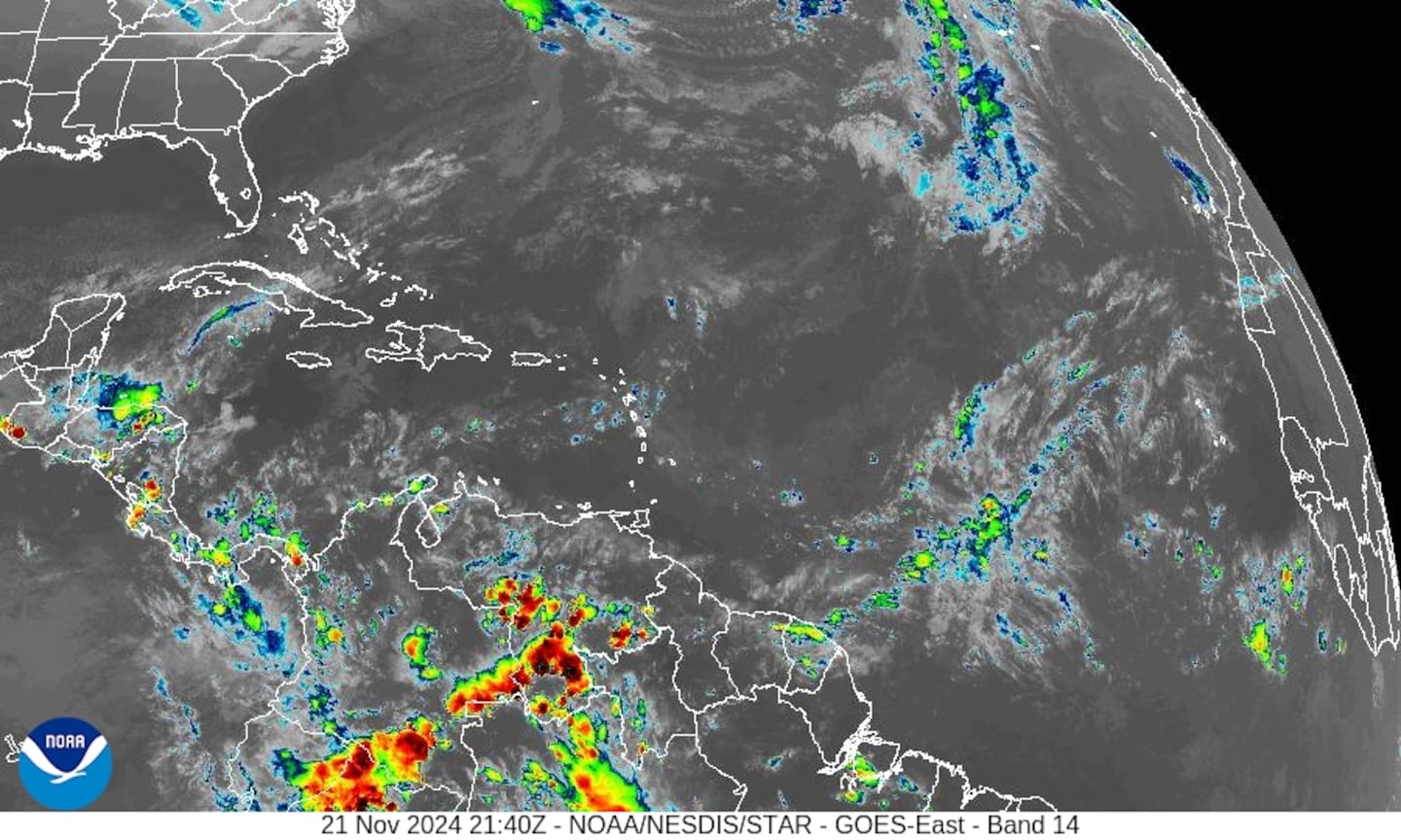
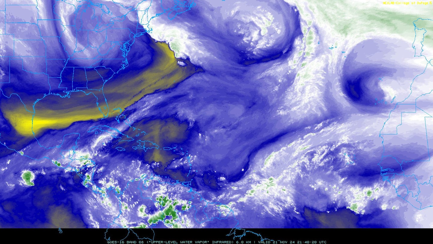
CIMMS satellite below shows the extent of dry air but also indicates it doesn't necessarily shut down the basin. Note the considerable dry air between Leslie & Florida which will help to shut down widespread rainfall for Jacksonville/NE Fl./SE Ga. through Friday/Saturday.
E. Atlantic:
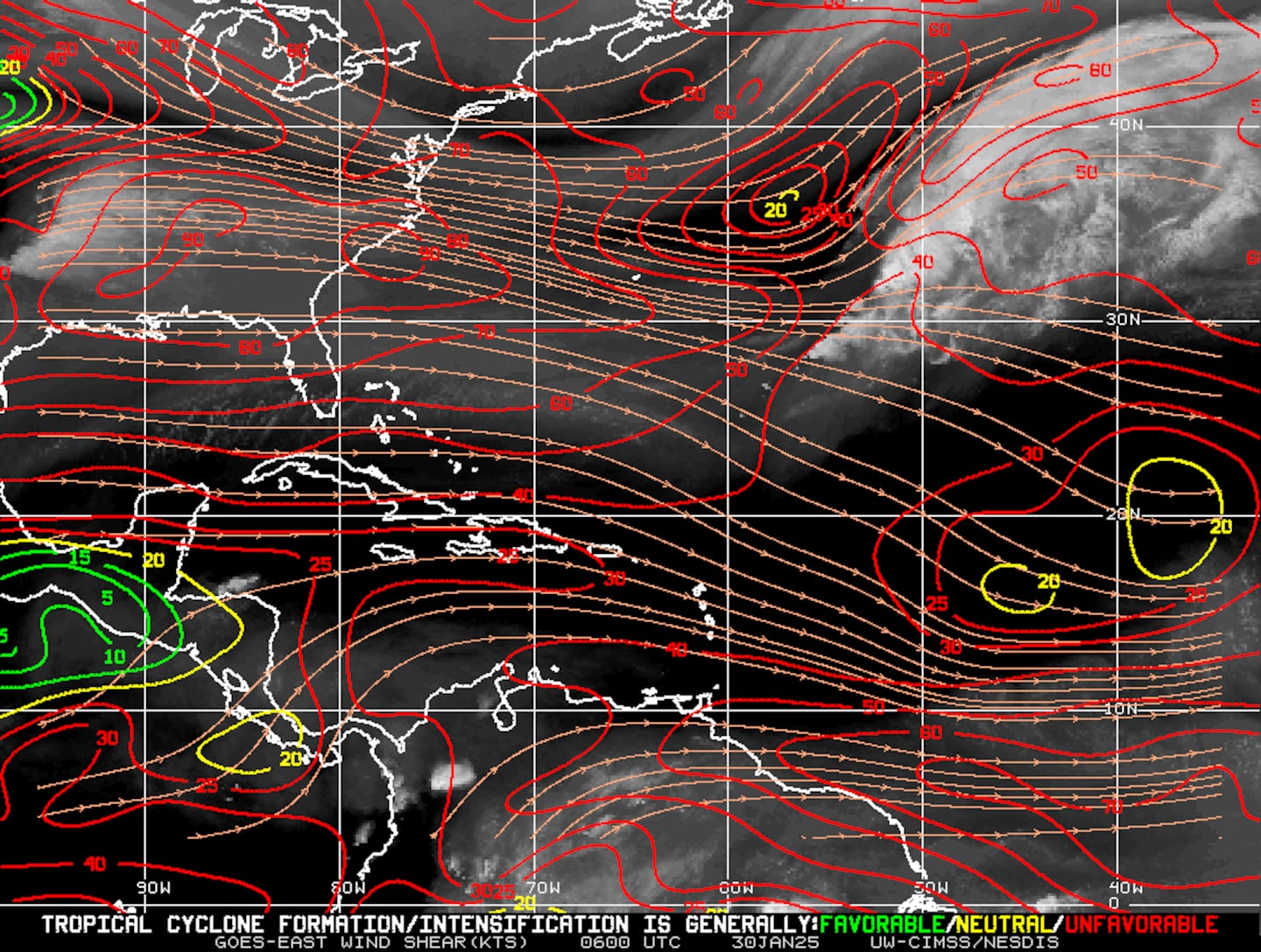
Mid & upper level wind shear (enemy of tropical cyclones) analysis (CIMMS). The red lines indicate strong shear:
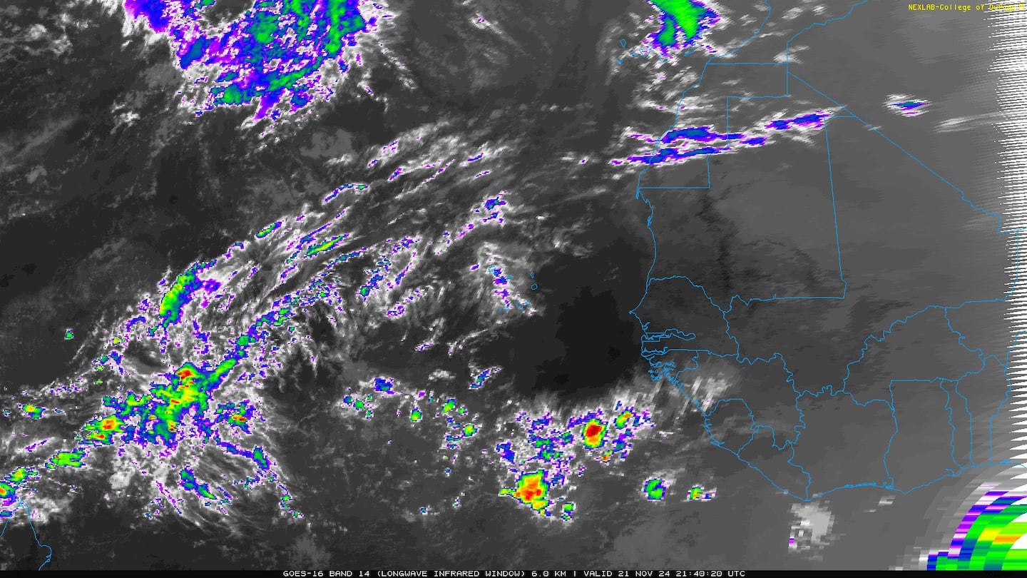
The Atlantic Basin.... note the disturbance/tropical wave over the far E. Atlantic....
Caribbean:
Gulf of Mexico:
Water vapor imagery (dark blue indicates dry air) - notice the dry air spinning into Leslie:
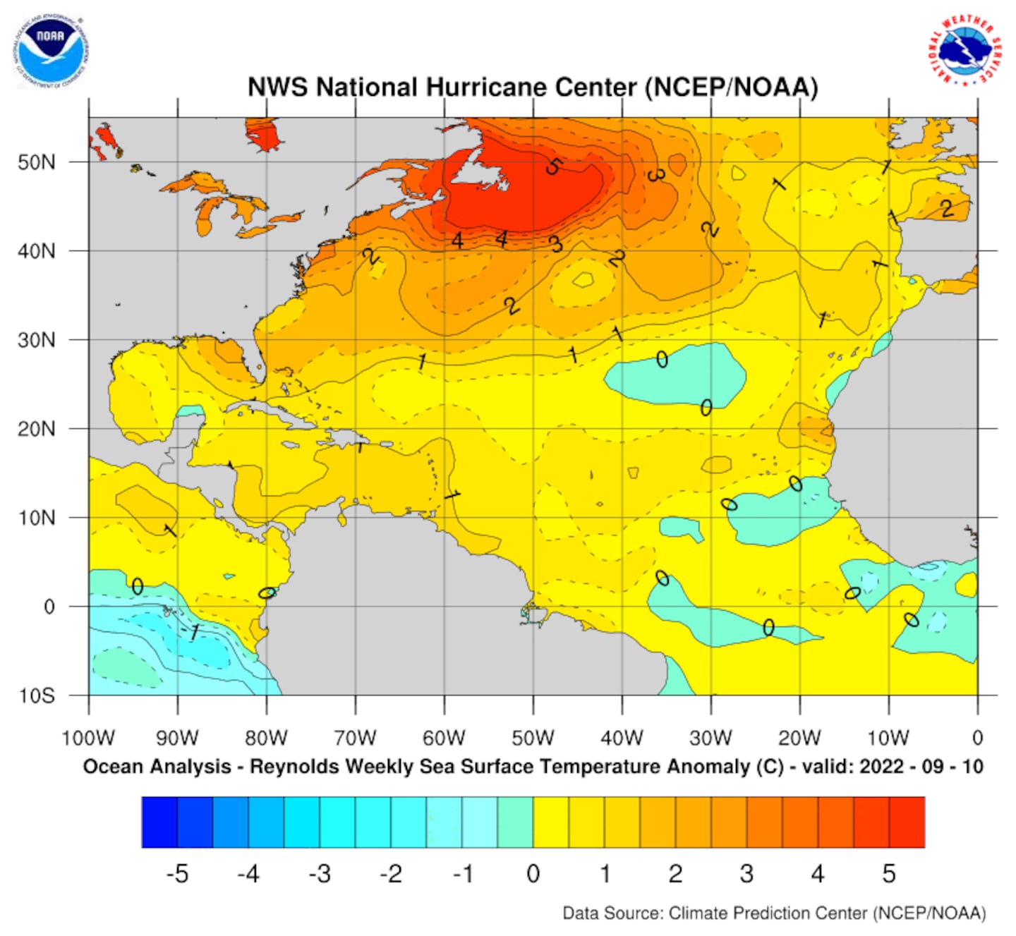
Deep oceanic heat content is seasonably high over the Caribbean, Gulf of Mexico & SW Atlantic as one would expect early in the fall....
Sea surface temp. anomalies:
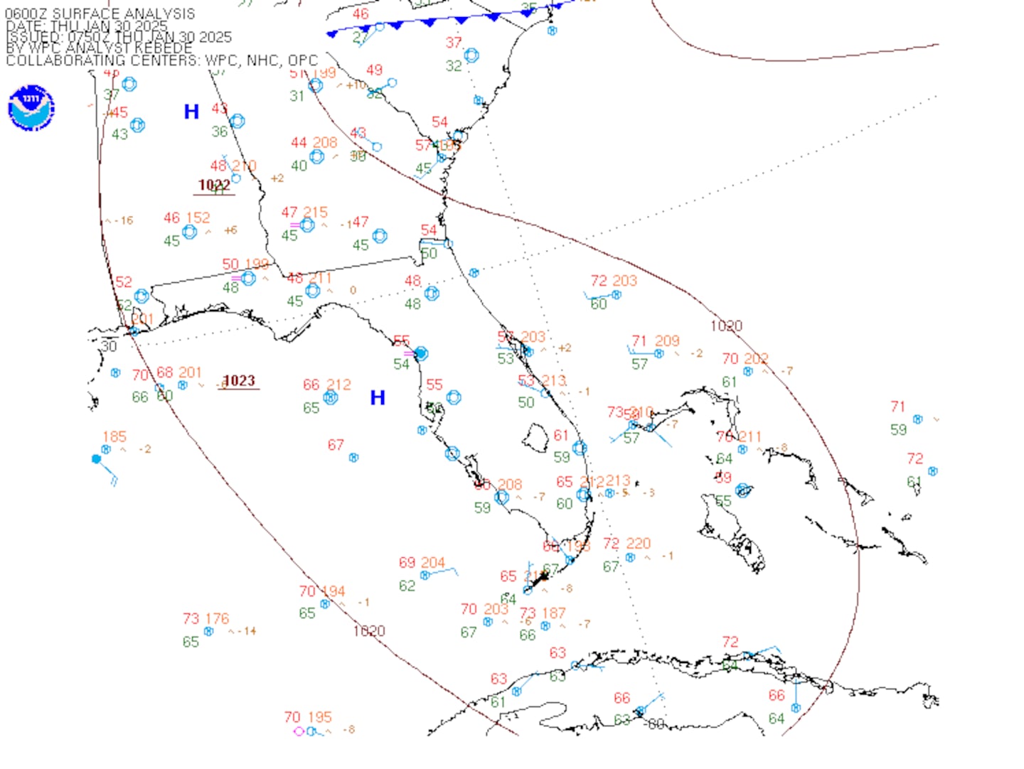
SE U.S. surface map:
Surface analysis centered on the tropical Atlantic:
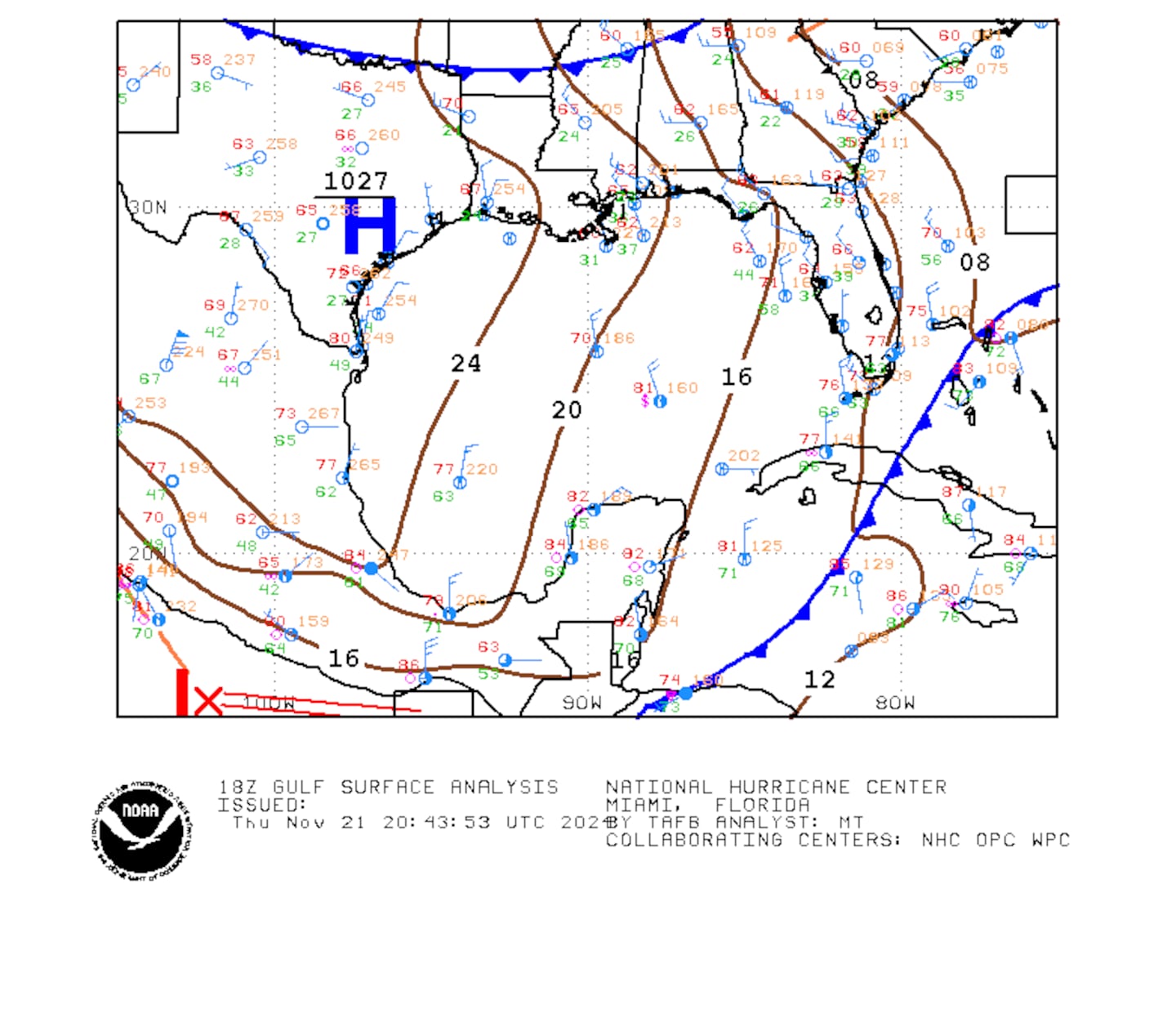
Surface analysis of the Gulf:
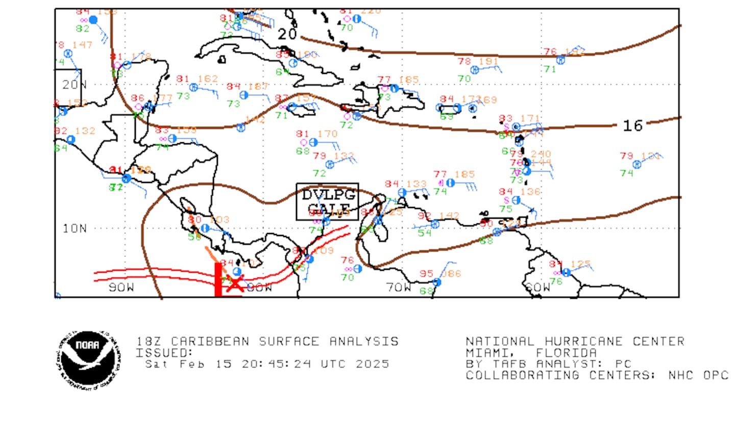
Caribbean:
The E. Pacific remains active....
"Sergio" is a strong hurricane well offshore of Mexico, far to the south/southwest of the Baja & will turn northwest over open water through late week then veer back to the west. Eventually the tropical cyclone - or its remnants - may affect parts of Mexico, the Baja & Southwest U.S. next week when a deep upper level trough sets up shop over the Western U.S. & accelerates Sergio to the northeast.
Cox Media Group

