The "Buresh Bottom Line": Always be prepared!.....First Alert Hurricane Survival Guide... City of Jacksonville Preparedness Guide... Georgia Hurricane Guide.
STAY INFORMED: Get the (free) First Alert Weather app
FREE NEWS UPDATES, ALERTS: Action News Jax app for Apple | For Android
Historical hurricane Michael - post storm photos & video ** here **:
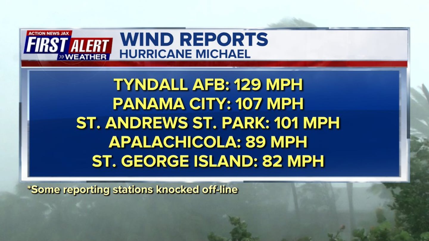
Preliminary measured wind gusts - no doubt winds were much higher in some spots which will be determined in post storm studies.....
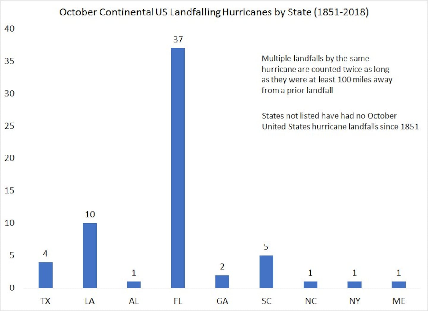
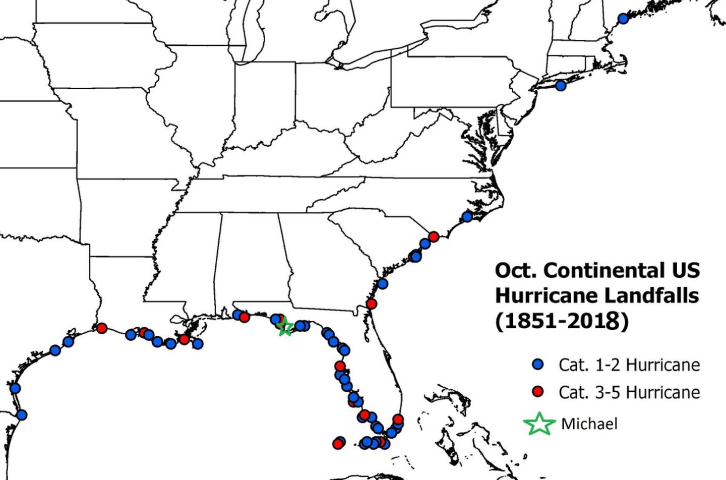
The next 2 images provided by Dr. Phil Klotzbach, CSU:
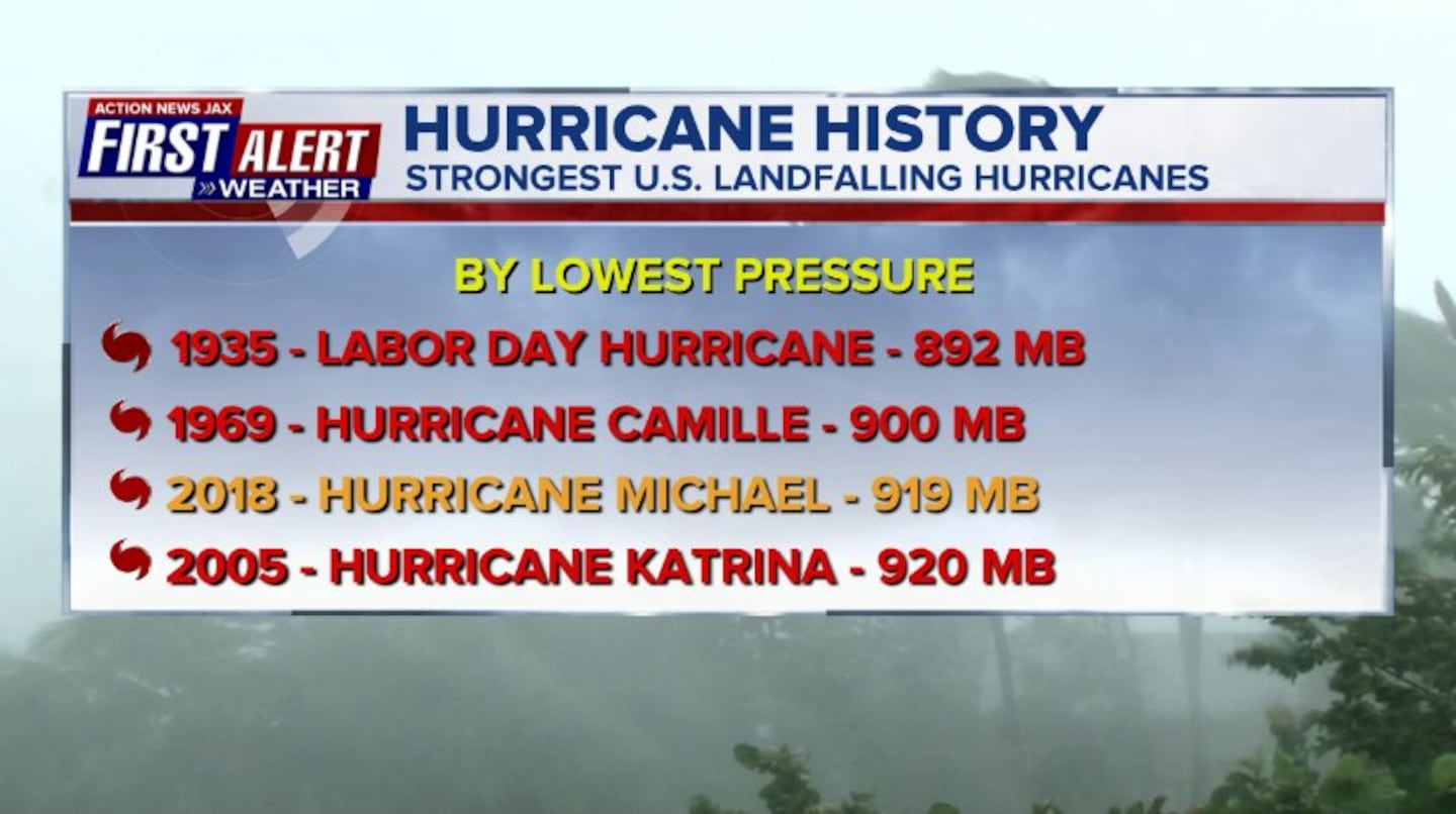
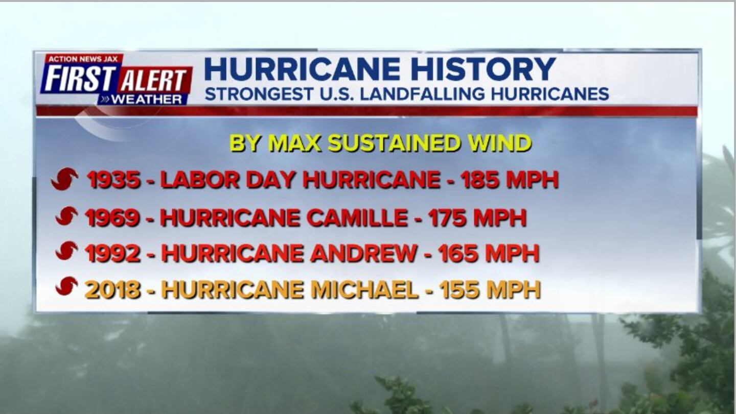
Hurricane Michael went through a rapid intensification cycle Tue. - Wed. - a "once in a generation" type landfalling hurricane for the Florida Panhandle & will go down as the strongest Oct. hurricane to make landfall on U.S. soil. This will surpass hurricane Ivan in 2004 as the most severe Panhandle hurricane as well as hurricane Opal in Oct., 1995 & - arguably - the strongest Gulf Coast hurricane since historic Camille in Aug., 1969 which was a much more compact hurricane.
Michael hit the Fl. Panhandle as a "major" near Cat. 5 hurricane a little before 2pm EDT 20 miles southeast of Panama City near Mexico Beach. Post storm surveys will determine the exact intensity.
Michael moved offshore Fri. morning near/just south of Chesapeake Bay while transitioning to a post-tropical cyclone. The last advisory was issued by the NHC Friday.
While business is back to normal for NE Fl./SE Ga., it's a much different story for parts of the Virginia, W. Virginia, Maryland, the Carolina's, Georgia &, of course, the Fl. Panhandle & Big Bend where travel will be severely hampered & power may be out for days if not weeks.
Historically - going back to about the mid 1990s - we should have been wary of Oct. hurricanes given certain conditions (warm water, decreasing shear, increasing upper level ventilation thanks to an approaching upper level trough of low pressure) which were in place for Michael - see "Buresh Blog" - Matthew (Fl.) 2 years ago (Sun., 10/07!)... Joaquin (Bahamas & El Faro) in 2015... Sandy (NY, NJ) in 2012.... Wilma (Yucatan &Fl.) in 2005... Mitch (Central America & Fl.) in 1998... Opal (Fl.) in 1995.
Microwave energy time lapse has been most impressive.... courtesy CIMSS:
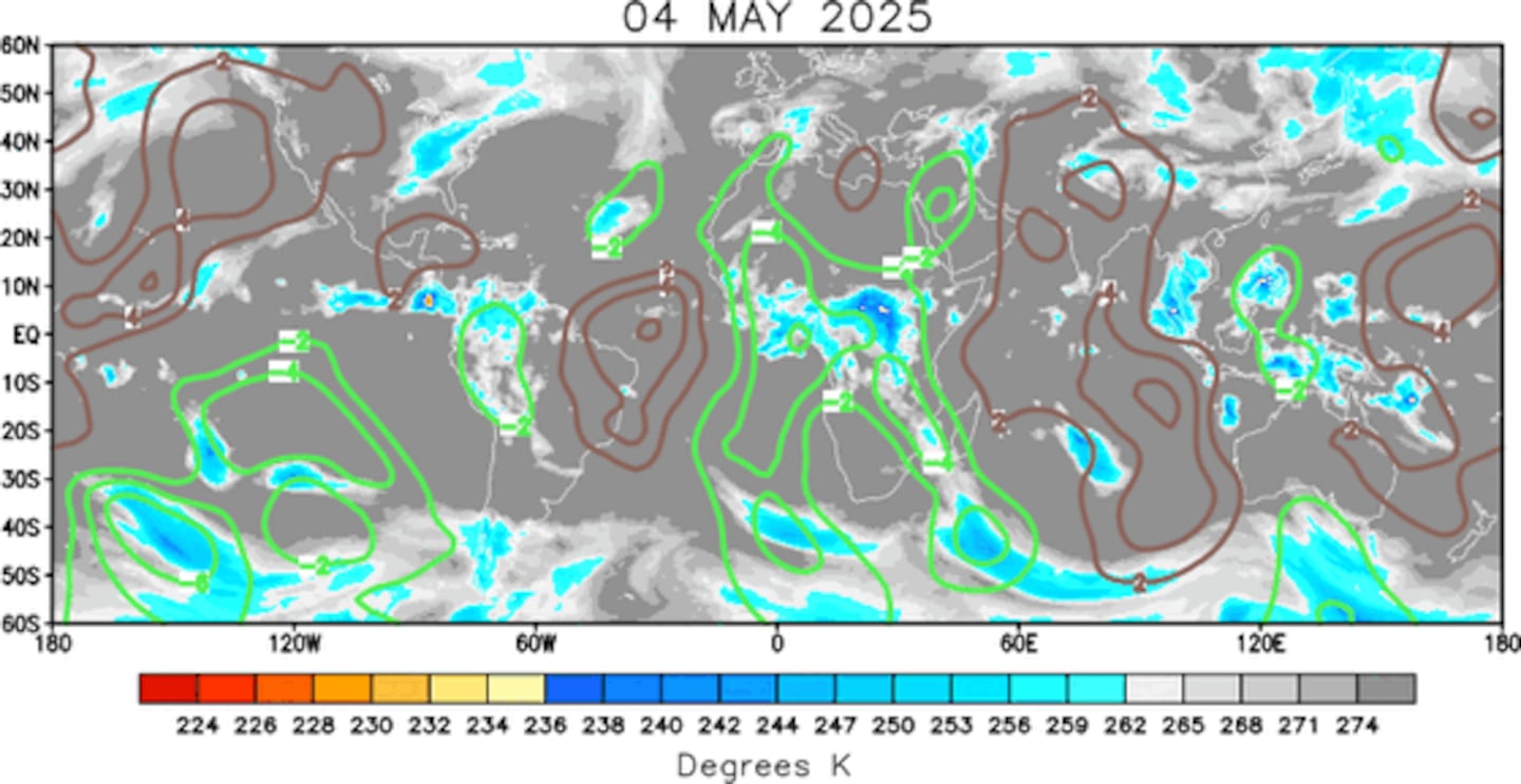
As I wrote nearly a month ago.... the overall pattern through the first 2+ weeks of Oct. has favored tropical development over the Atlantic Basin. The velocity potential anomaly map below indicates expansive green lines - upward motion - spreading from the E. Pacific into the Atlantic Basin, part of a MJO (Madden-Julian Oscillation) pulse. This phase has peaked, & the Atlantic Basin will be quieter soon but realize the hurricane season continues through Nov. 30th.
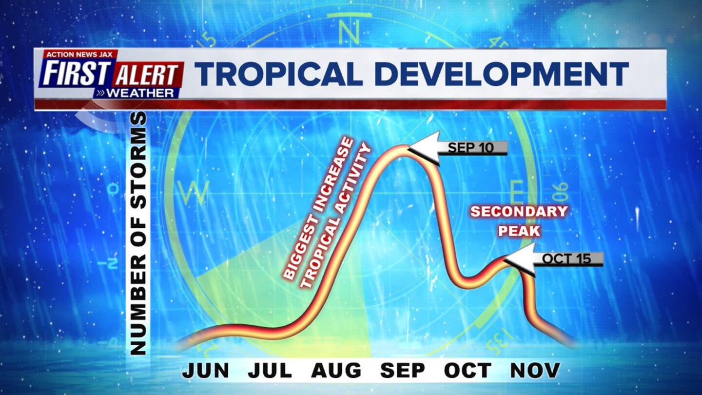
Note the secondary peak of the hurricane season in mid Oct.:
Meanwhile... Long-lived Leslie has picked up steam & is rolling east/northeast & will make a rather rare landfall on Spain & Portugal soil late Sat./Sat. night while transitioning to a post-tropical storm.
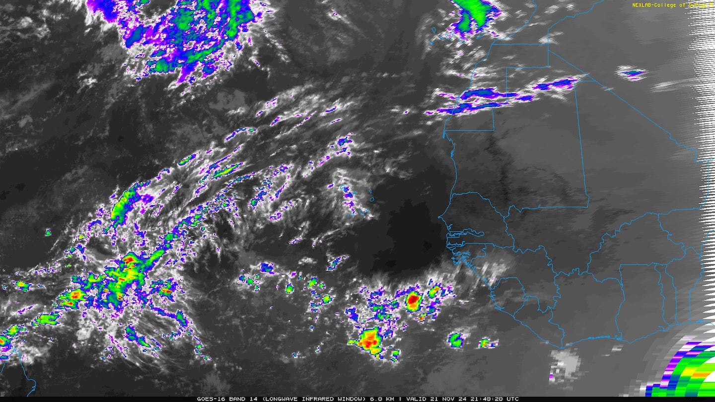
AND.... tropical storm "Nadine" thankfully lost its battle to strong shear, has dissipated & will not redevelop. Dr. Phil Klotzbach says this is the farthest east that a tropical storm has formed so late in the season.
0
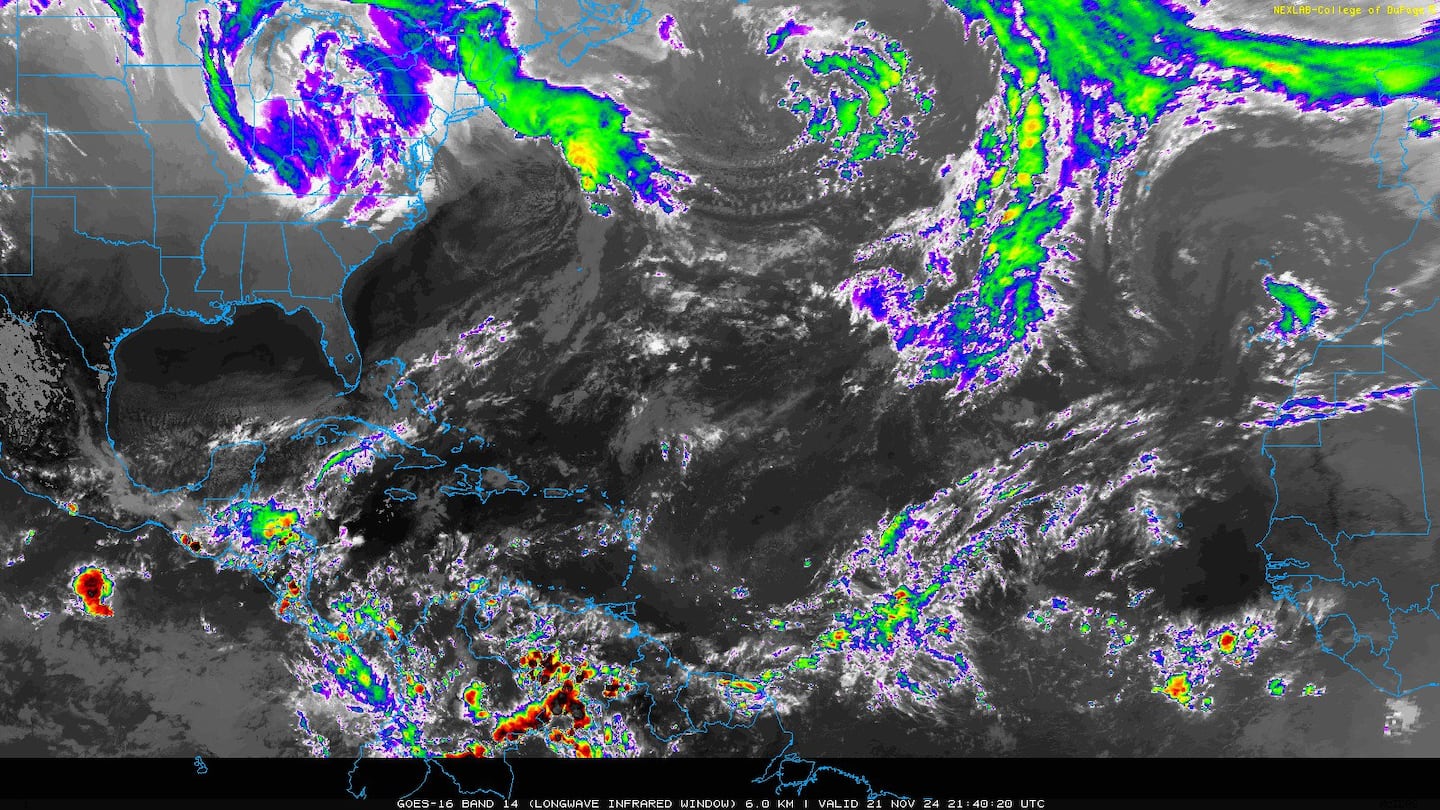
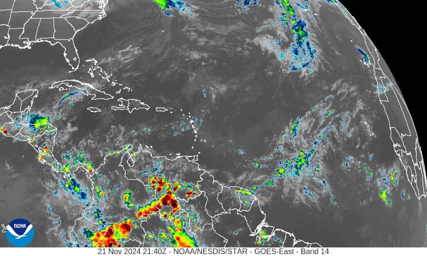
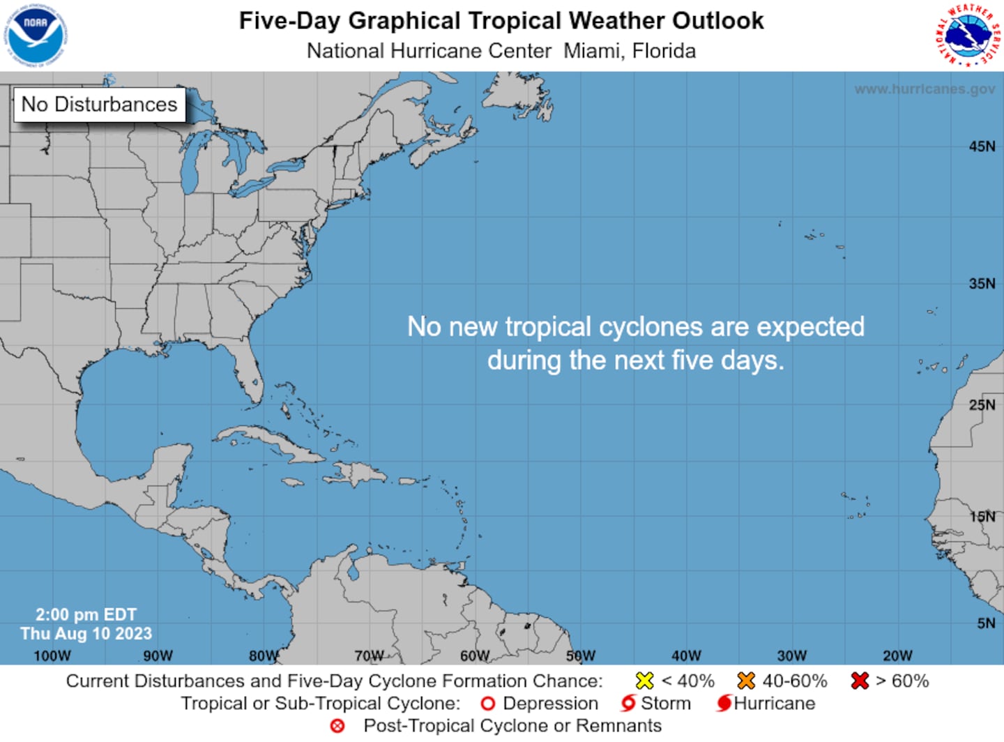
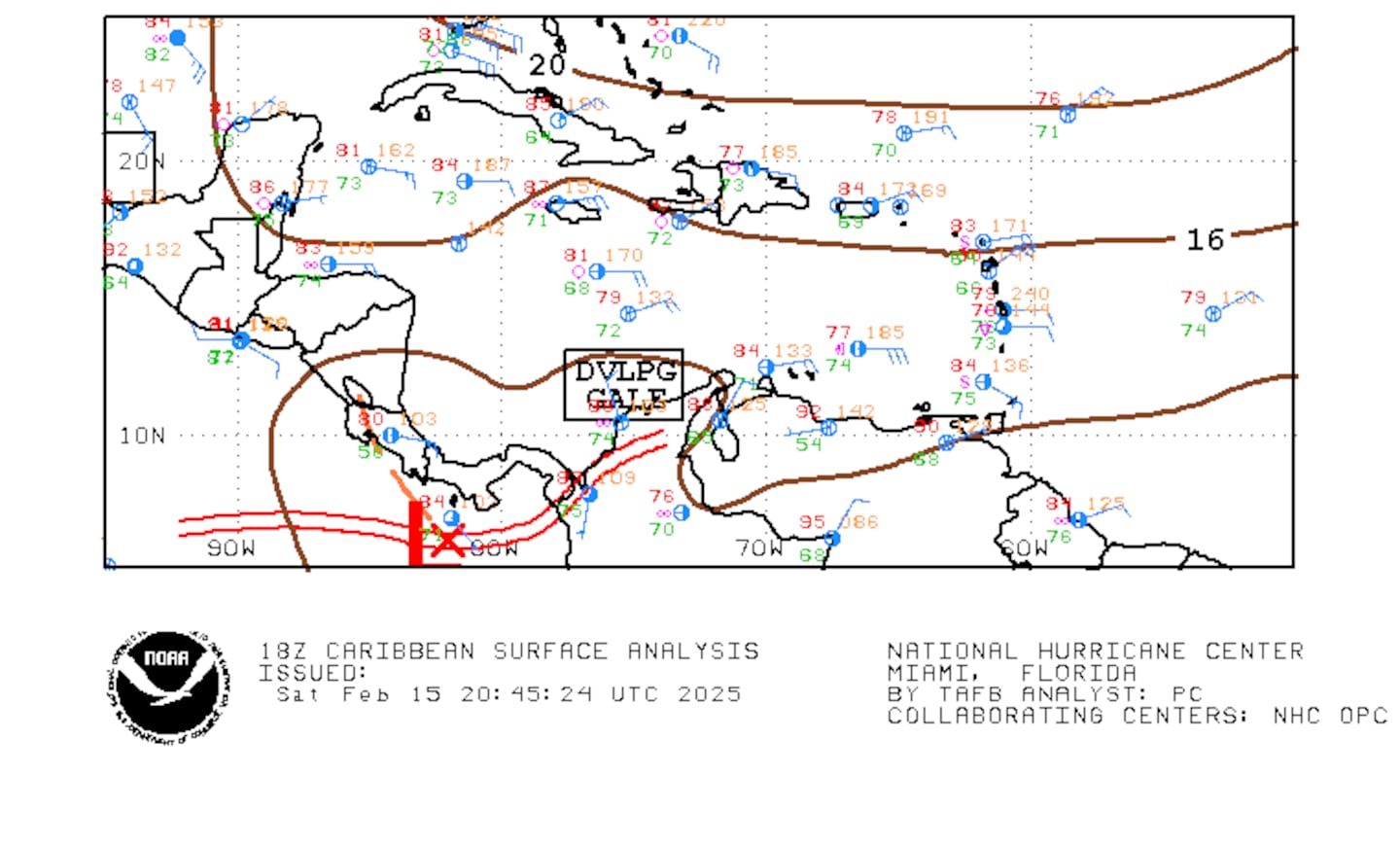
The Atlantic Basin has gone quieter & NO tropical systems will impact the U.S. anytime soon. An area of "disturbed" weather over the Caribbean could develop weak low pressure while moving west over Central America with little time for significant development.
1
E. Atlantic:
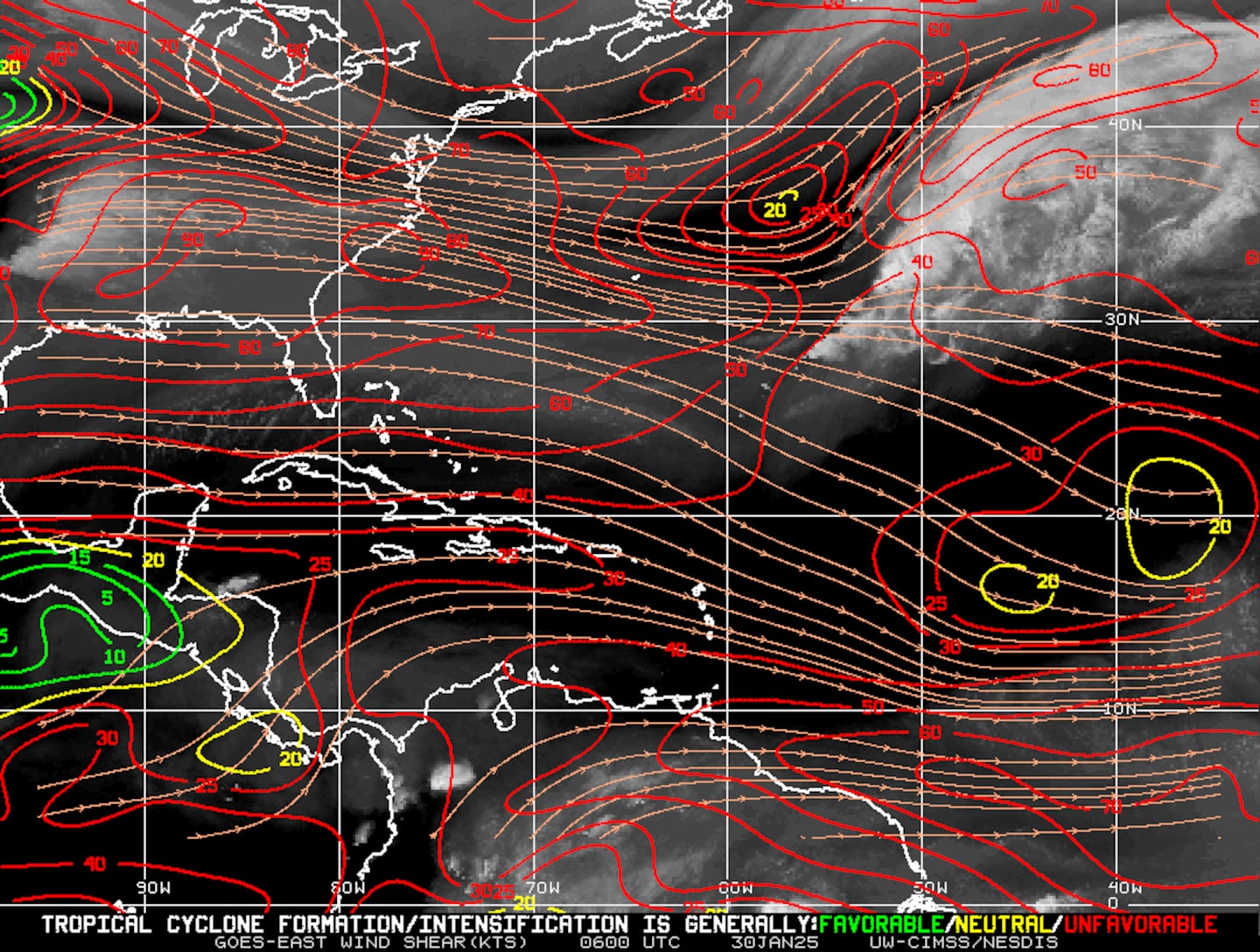
Mid & upper level wind shear (enemy of tropical cyclones) analysis (CIMMS). The red lines indicate strong shear:
The Atlantic Basin.....
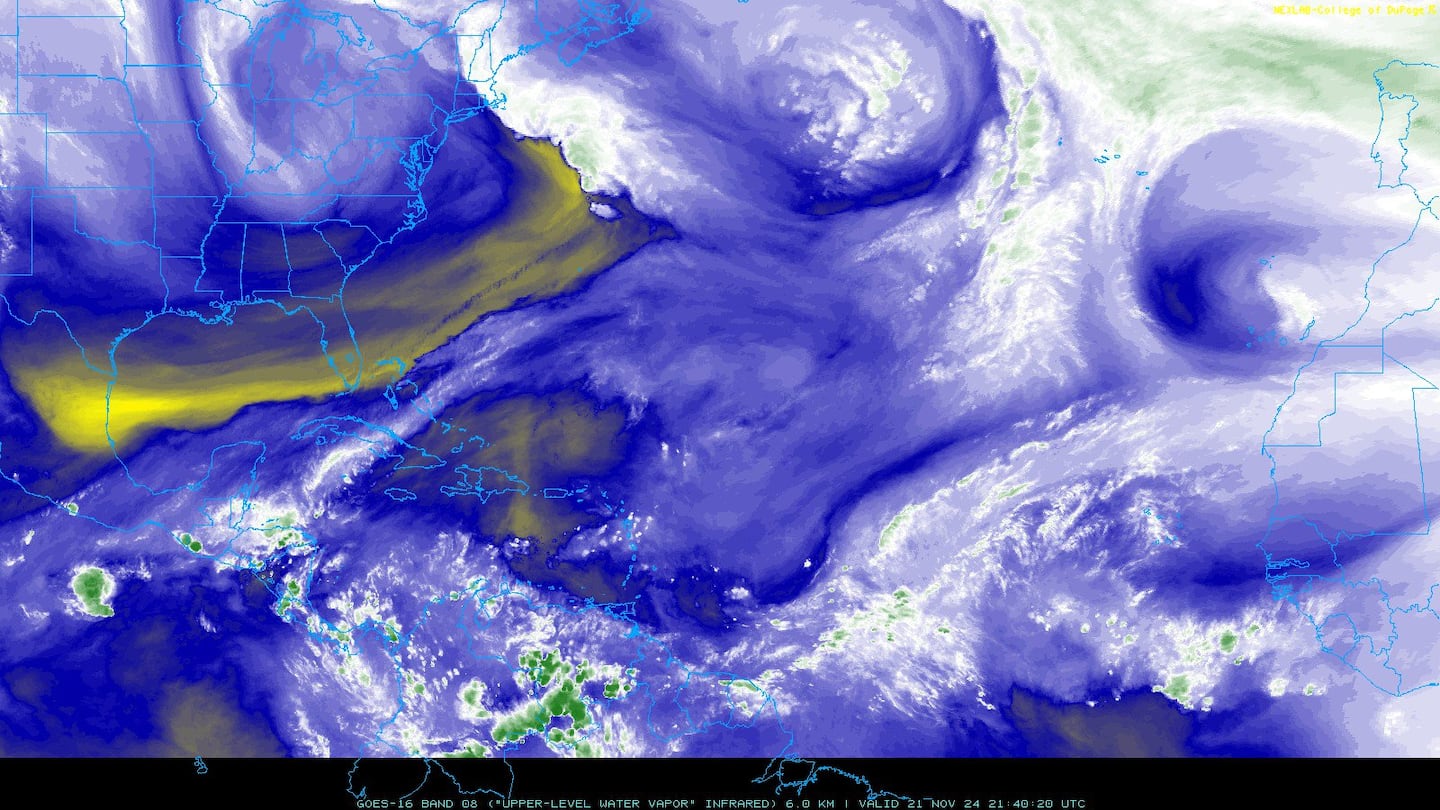
Water vapor imagery (dark blue indicates dry air):
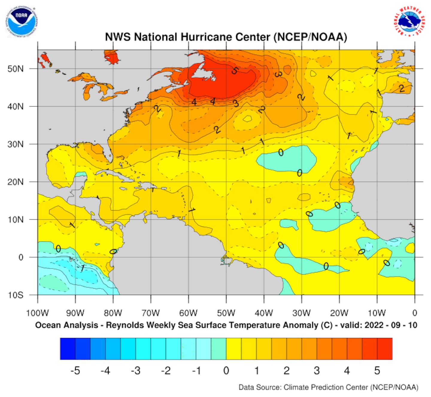
Deep oceanic heat content is seasonably high over the Caribbean, Gulf of Mexico & SW Atlantic as one would expect in the fall....
Sea surface temp. anomalies:
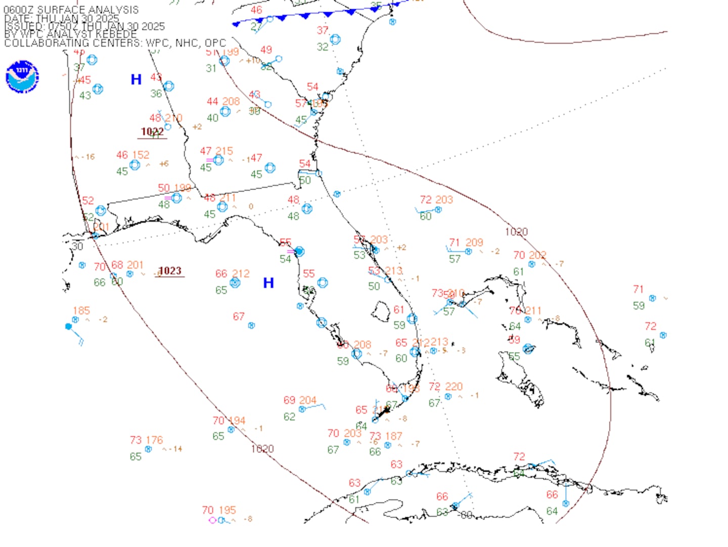
SE U.S. surface map:
Surface analysis centered on the tropical Atlantic:
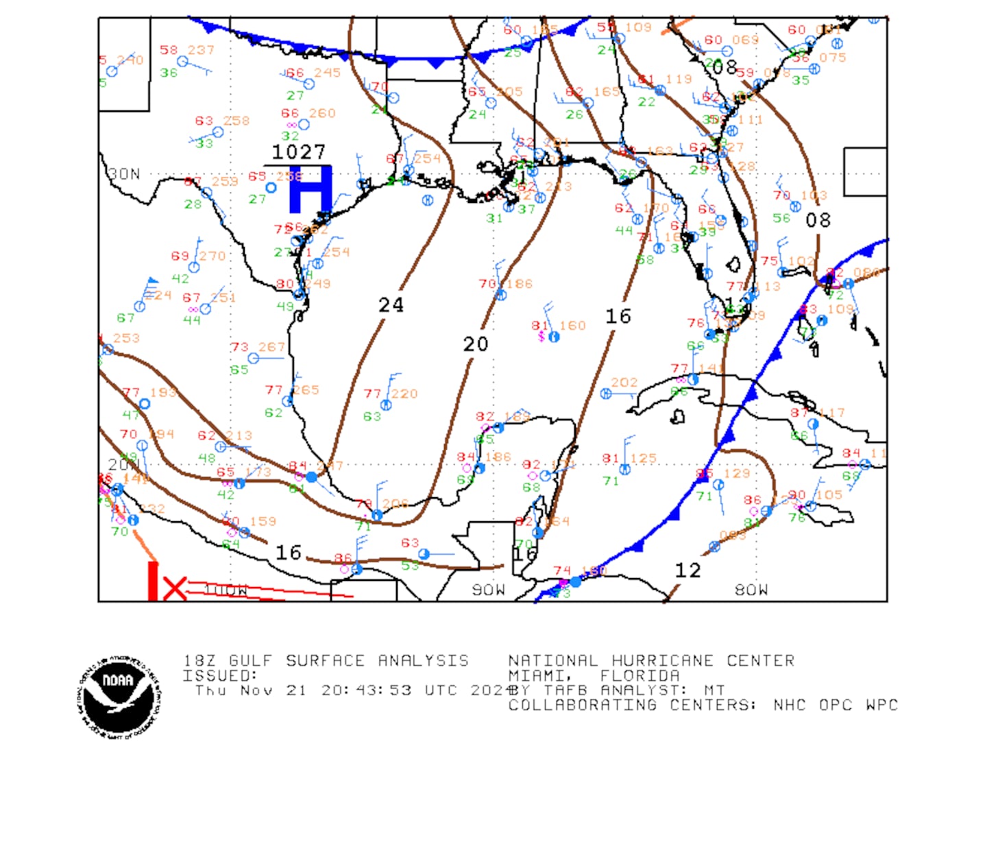
Surface analysis of the Gulf:
Caribbean:
Cox Media Group

