Nov. 25, 2018 — The "Buresh Bottom Line": Always be prepared!.....First Alert Hurricane Survival Guide... City of Jacksonville Preparedness Guide... Georgia Hurricane Guide.
STAY INFORMED: Get the (free) First Alert Weather app
FREE NEWS UPDATES, ALERTS: Action News Jax app for Apple | For Android
Historical hurricane Michael - post storm photos & video ** here **...... "Buresh Blog": Forecasting a Monster ** here **.....
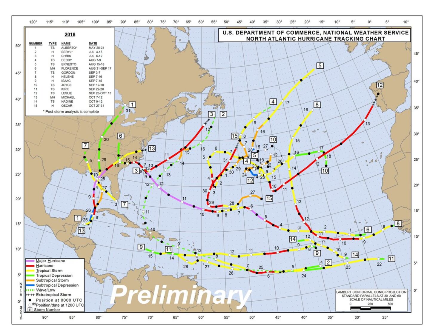
2018 Atlantic tropical depression/storm/hurricane tracks so far:
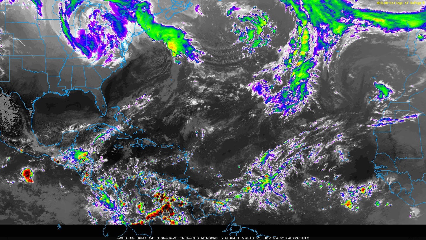
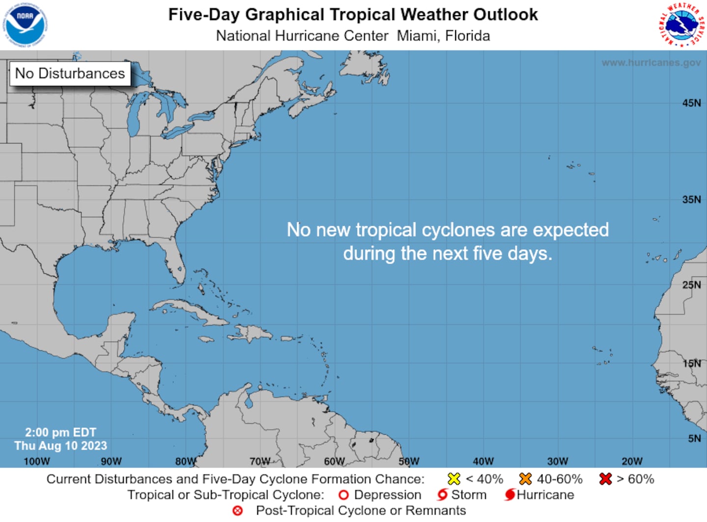
Less than a week left in the Atlantic hurricane season!.....
Intense low pressure is developing while moving into the Central Atlantic a little south of Bermuda. Strong winds & rough seas/surf will affect Bermuda into Monday. Tropical or subtropical development looks unlikely but the cyclone will produce wind gusts up to hurricane strength over the Central & Eastern Atlantic while the low speeds east/northeast.
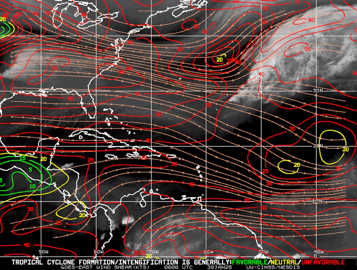
Mid & upper level wind shear (enemy of tropical cyclones) analysis (CIMMS). The red lines indicate strong shear:
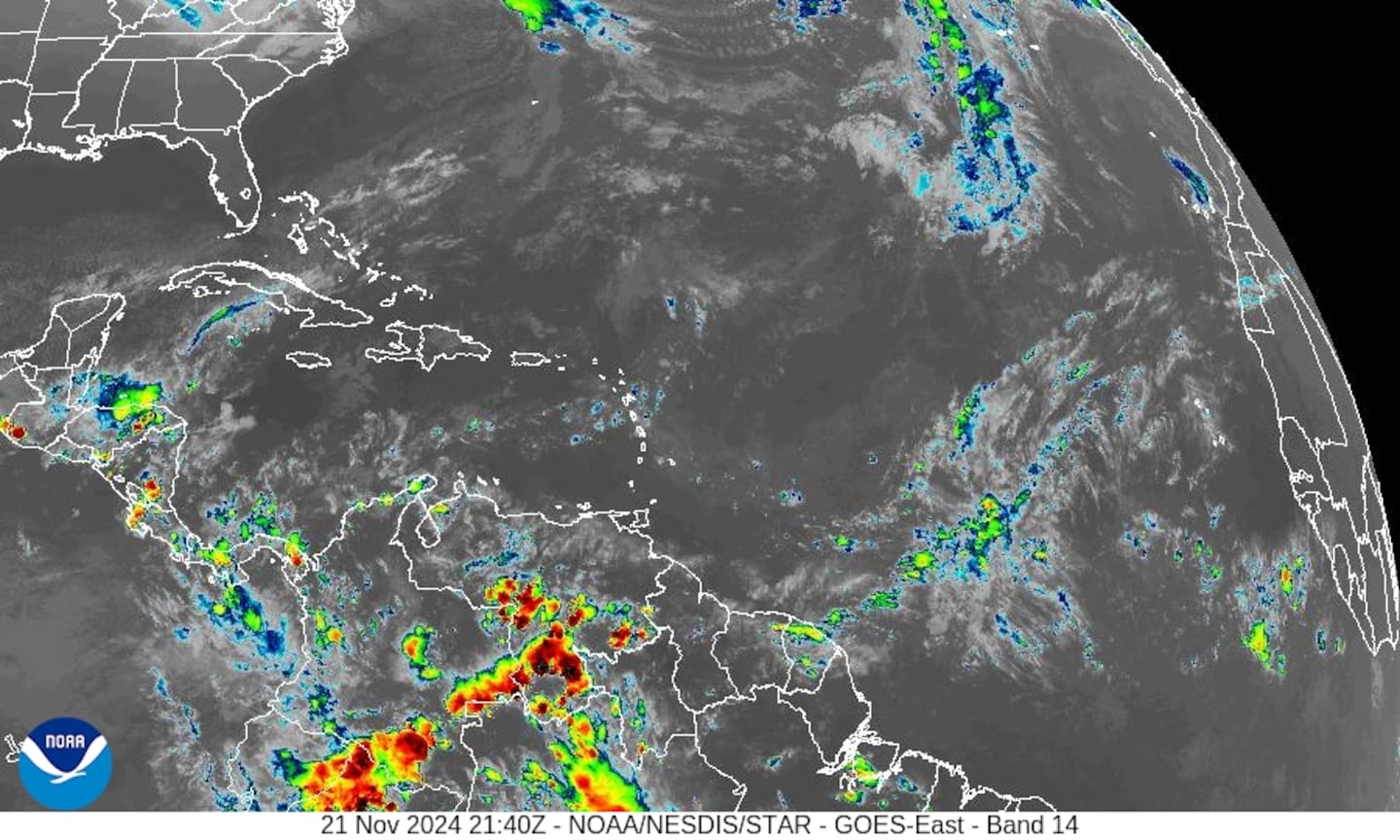
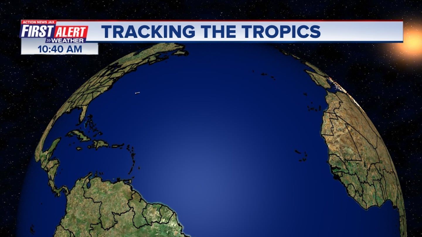
The Atlantic Basin.....
Water vapor imagery (dark blue indicates dry air):
0
Deep oceanic heat content is still high over the N. Central & NW Caribbean....
1
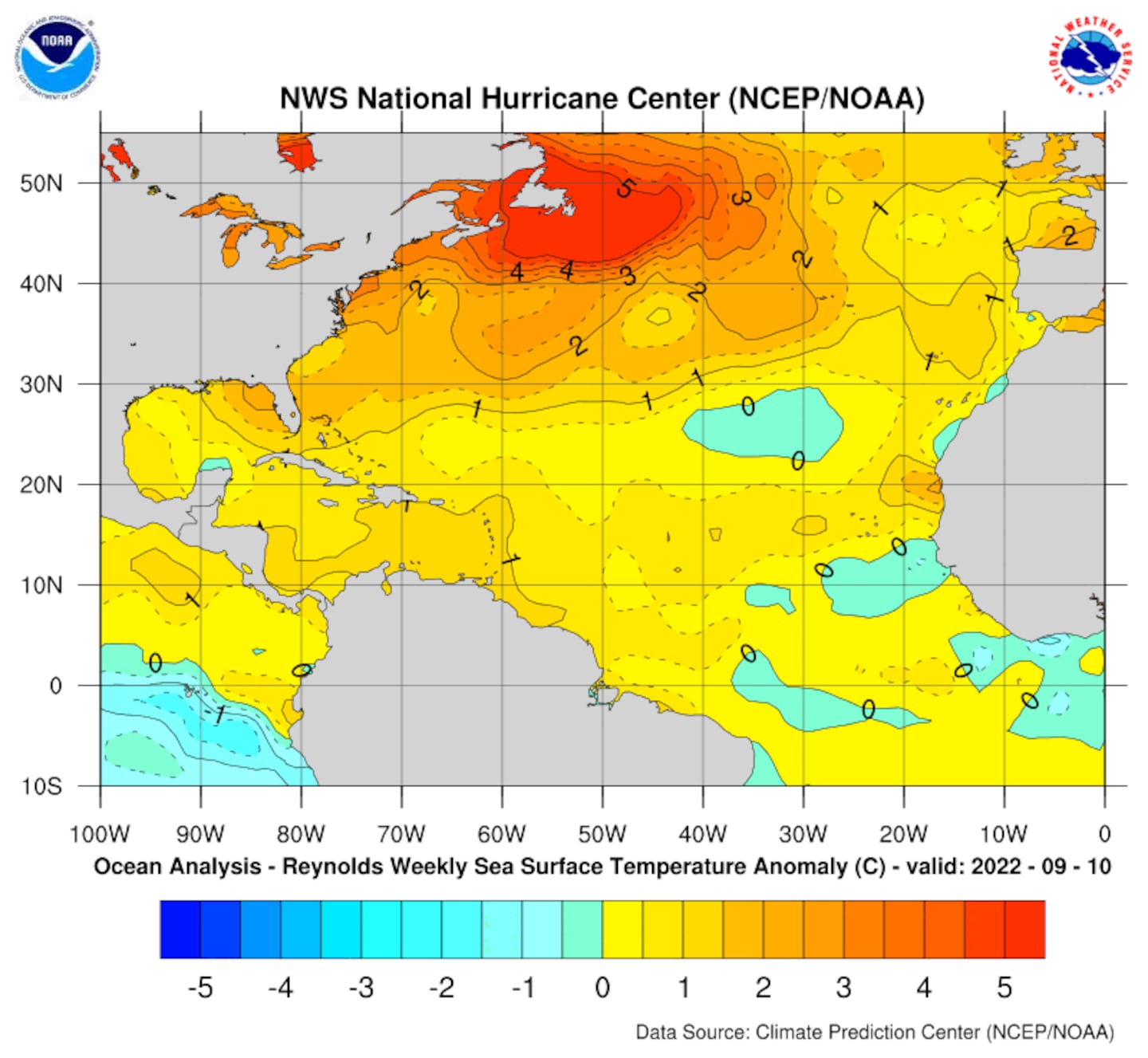
Sea surface temp. anomalies:
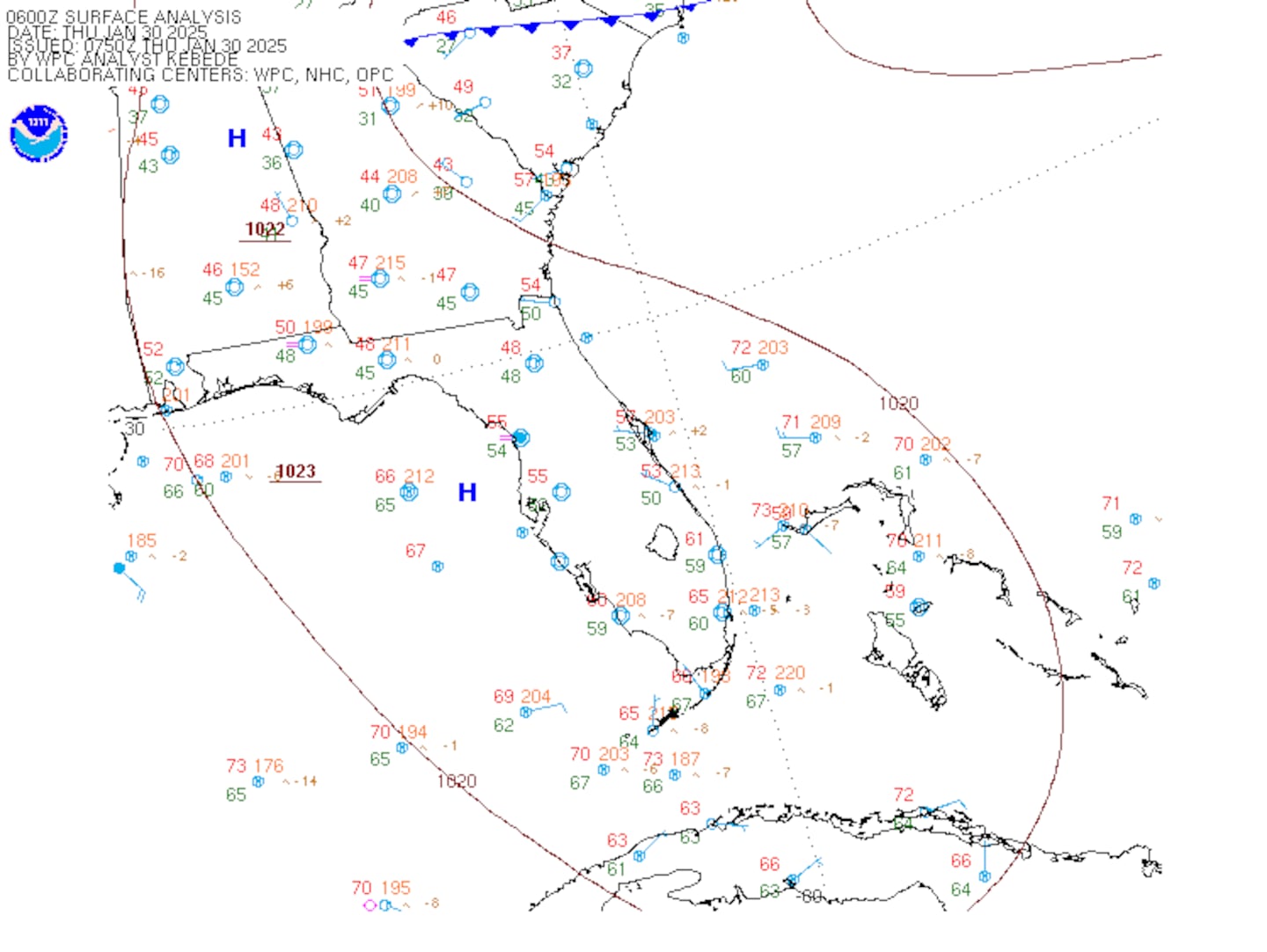
SE U.S. surface map:
Surface analysis centered on the tropical Atlantic:
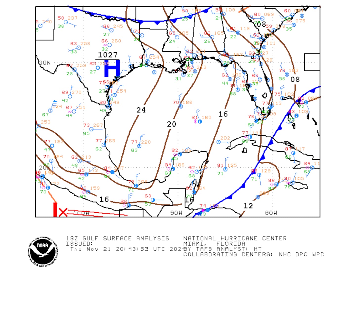
Surface analysis of the Gulf:
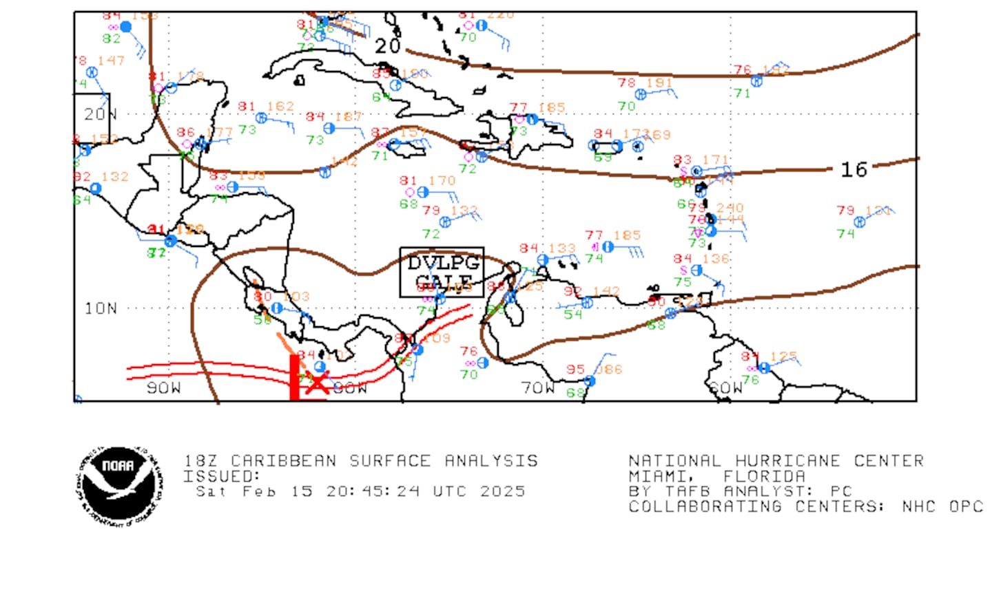
Caribbean:
Cox Media Group

