Sept. 22, 2018 — The "Buresh Bottom Line": Always be prepared!.....First Alert Hurricane Survival Guide... City of Jacksonville Preparedness Guide... Georgia Hurricane Guide.
STAY INFORMED: Get the (free) First Alert Weather app
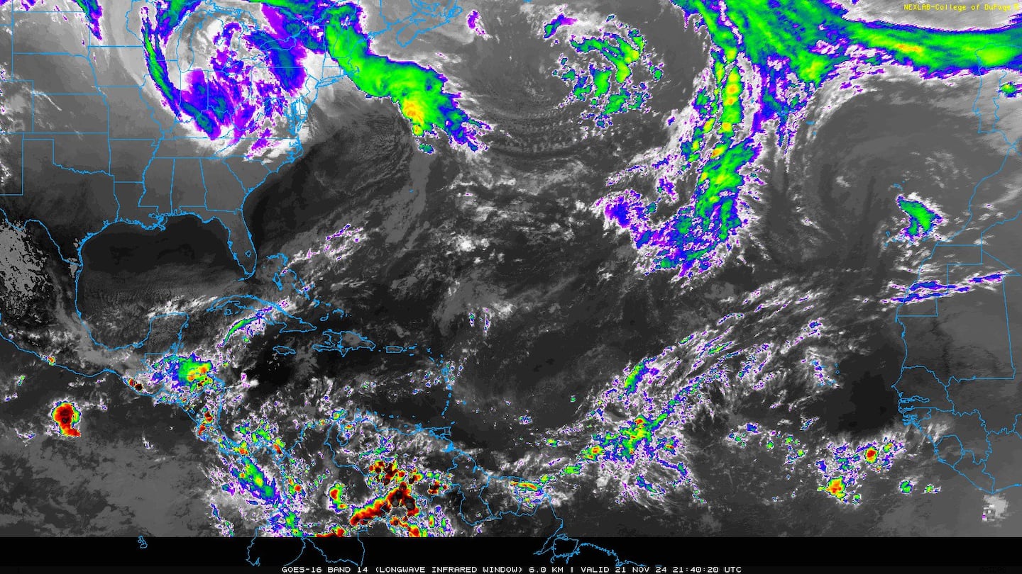
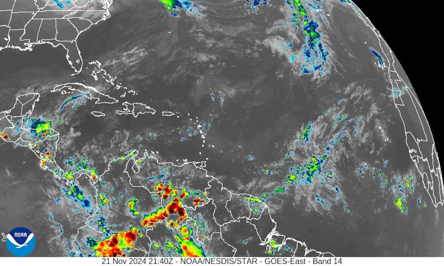
Wide view of the Atlantic Basin:
(1) Tropical depression #1 is several hundred miles to the east/southeast of the Caribbean. The highly sheared (mid/upper level winds from west to east) cyclone should soon dissipate while moving slowly west/northwest & does not appear to be a threat to the Caribbean.
(2) Low pressure has developed near Bermuda & could try to gradually take on some tropical characteristics - something to watch. Early indications are that this wave / low pressure will move westward toward Florida through Monday but still far to the east then northwest toward the the Carolina's by midweek. There has been some "scuttle butt" that this low is what used to be Florence but upon close examination, I find the low only to be a product of a piece of upper level trough that has broken off from the former tropical cyclone while the surface circulation of Florence zoomed east/northeast. Therefore, this is not - in my opinion - Florence & if the low were to become a tropical cyclone, it would get a new name.
(3) Low pressure will develop over the N. Atlantic & could become tropical next week while meandering over the open Atlantic for extended time.
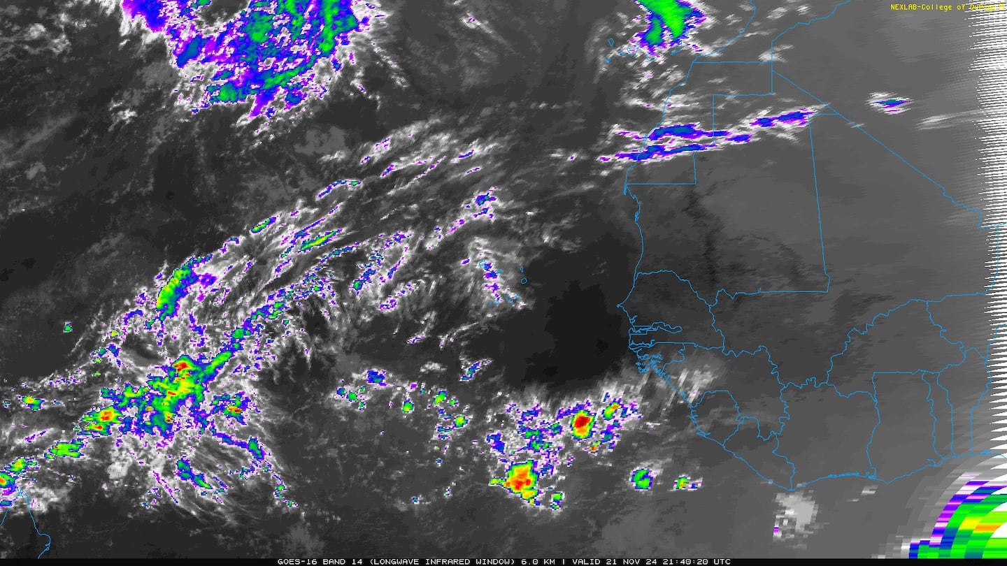
(4) An active wave off the coast of Africa has become tropical storm "Kirk". Kirk will race westward the next few days at more than 20 mph. This fast movement will slow intensification. By the middle of next week Kirk will be in area of moderate to high shear which may serve to weaken the fast moving storm. Forecast models show very little intensification over the next 5 days but are already too weak on the system. But the shear should protect the Lesser Antilles from a major storm as it looks right now.
E. Atlantic:
0
1
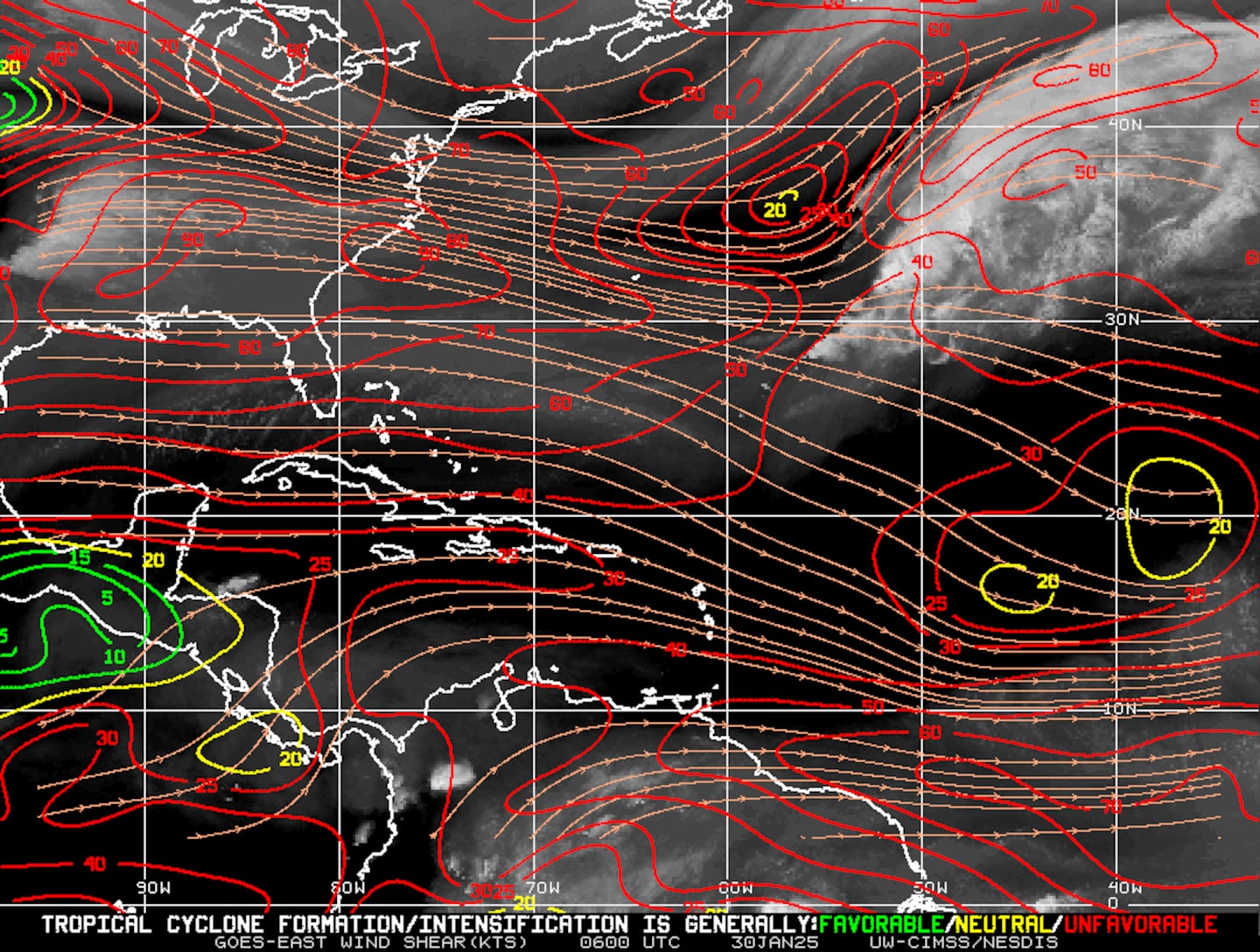
Mid & upper level wind shear (enemy of tropical cyclones) analysis (CIMMS). The red lines indicate strong shear:
The Atlantic Basin....
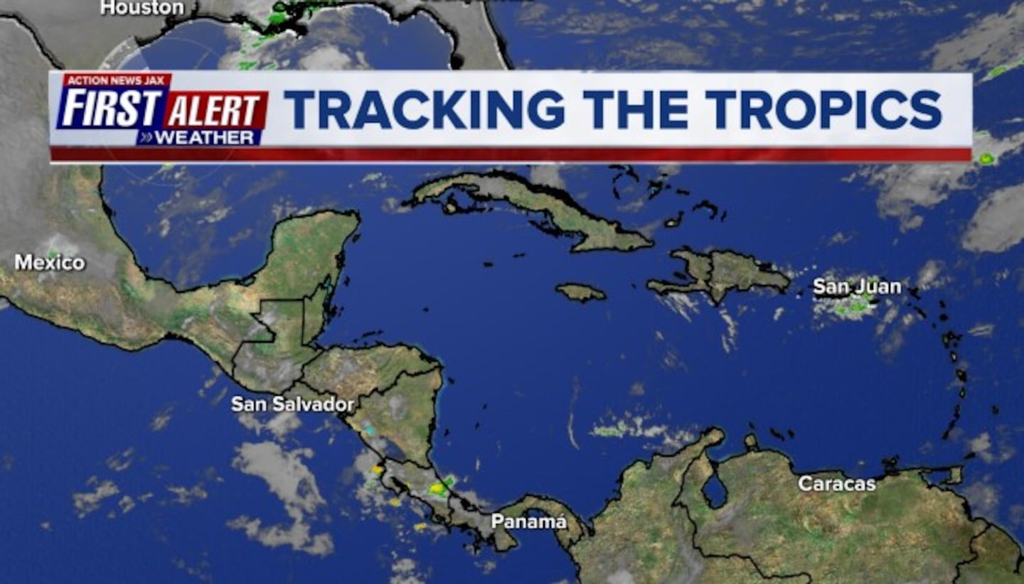
Caribbean:
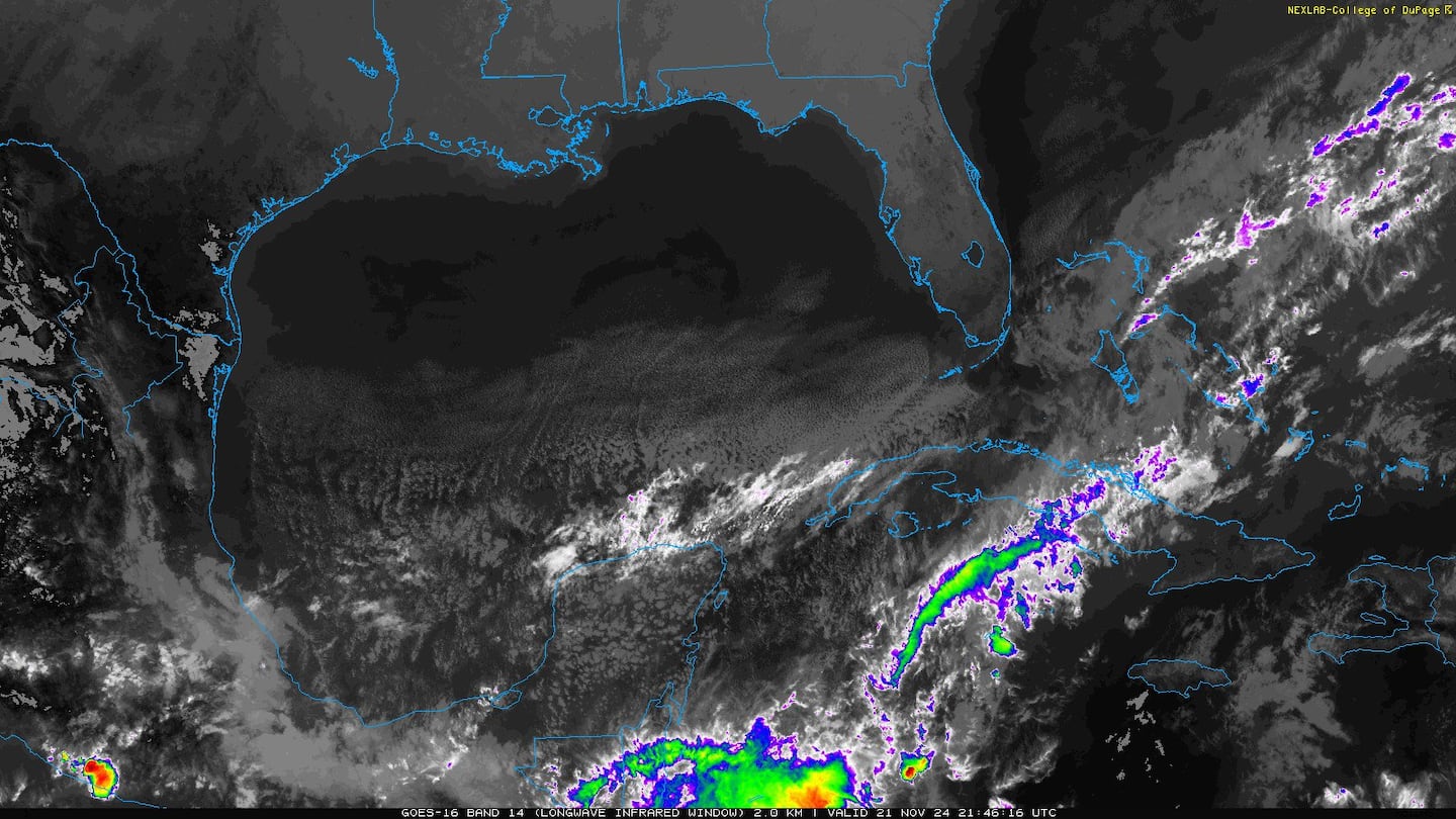
Gulf of Mexico:
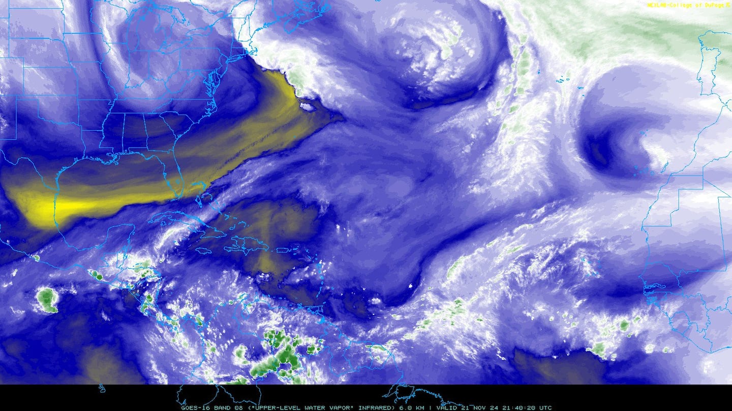
Water vapor imagery (dark blue indicates dry air) - notice the dry air right up against Florence:
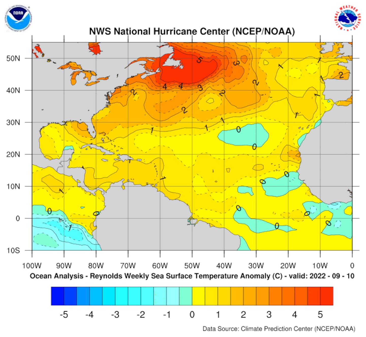
Deep oceanic heat content is seasonably high over the Caribbean, Gulf of Mexico & SW Atlantic as one would expect now that we're near the height of the hurricane season....
Sea surface temp. anomalies:
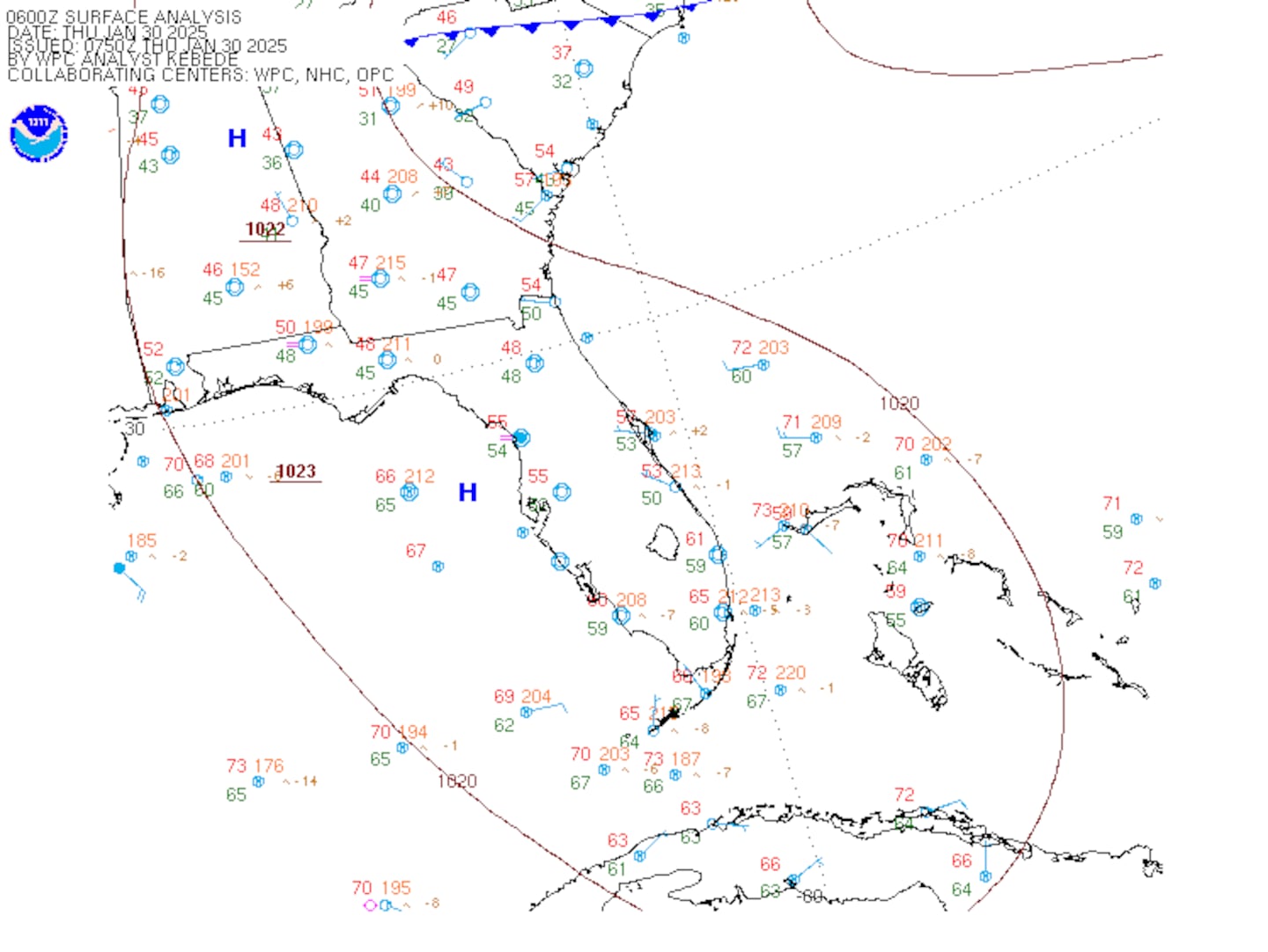
SE U.S. surface map:
Surface analysis centered on the tropical Atlantic:
0
Surface analysis of the Gulf:
1
Caribbean:
2
Cox Media Group

